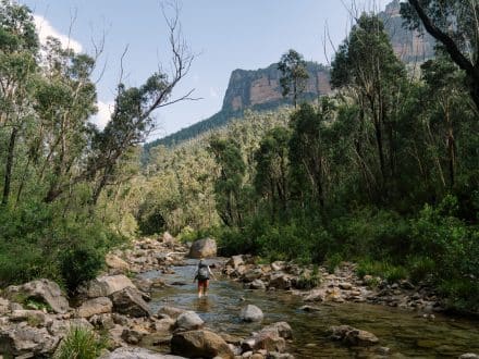
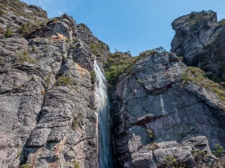
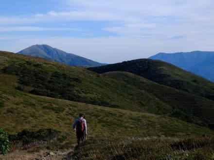
Why do today what you can put off until tomorrow? Particularly when wrapped in the loving arms of the Victorian High Country.
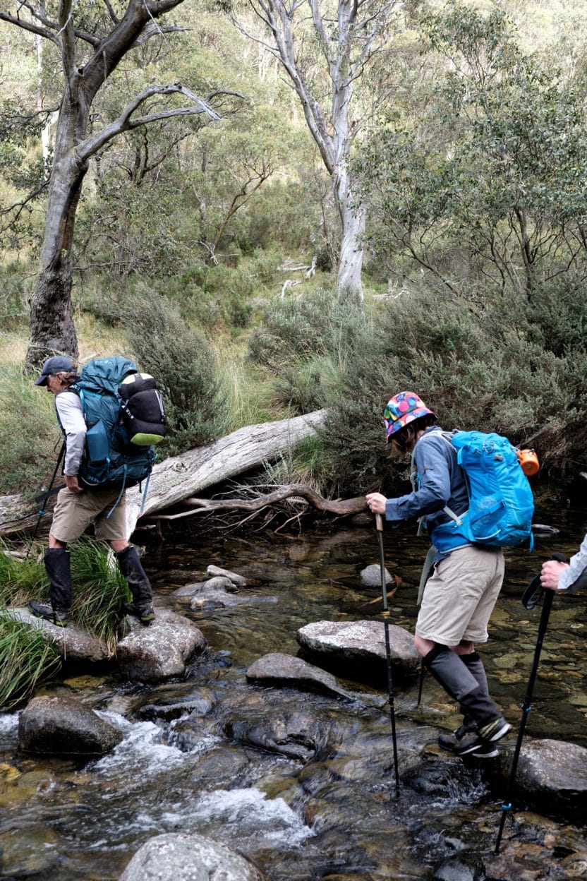
It’s easy not to see some things, but once seen, it’s hard to unsee them. I used to enjoy seeing the rolling hills of pasture while driving out of Melbourne. But now, having become aware of what’s not there, what’s missing – the native vegetation, the native animals, the Indigenous cultures that once thrived on these hills and in these valleys – I can’t help but notice their absence.
This time, four of us were driving north of Melbourne to Mount Hotham to start a 43-kilometre loop walk through Victoria’s Alpine National Park – an extended Cobungra Gap and Ditch Circuit – a very varied and beautiful walk through eucalypt forests, alpine heath, grasslands and over free-flowing creeks and rivers.
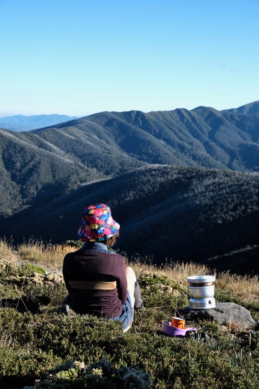
Cup of tea, clear skies, a view over the high country and a funky bucket hat, and all within a kilometre of the carpark. Has there ever been a more auspicious start to a walk.
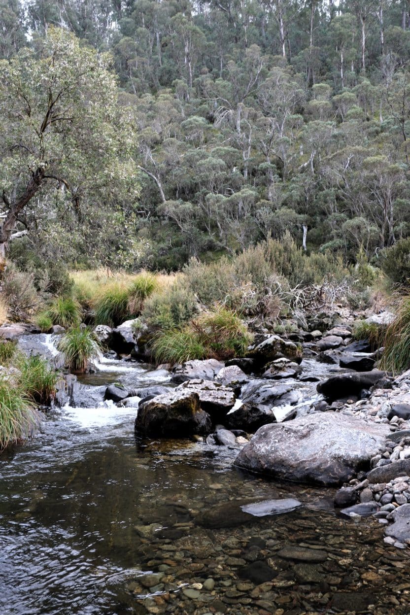
Boulders are strewn along the length of the high-country creeks and rivers, having fallen from overhanging cliff faces.
Let me say from the outset, this is not a walk for everyone. I’m not so sure that it’s even a walk for me: 1.8 kilometres of total vertical climb and, of course, being a circuit, the same descent. That’s a lot of quad work for a two day/one night walk. Tie those boot laces nice and tight for the descent or it’s sore toes for at least a week. An added challenge is the lack of anything resembling a track for around three kilometres of the route. A compass, patience and navigational skills are ideal but a GPX file (or similar route file) and map app to place it on are an absolute minimum.
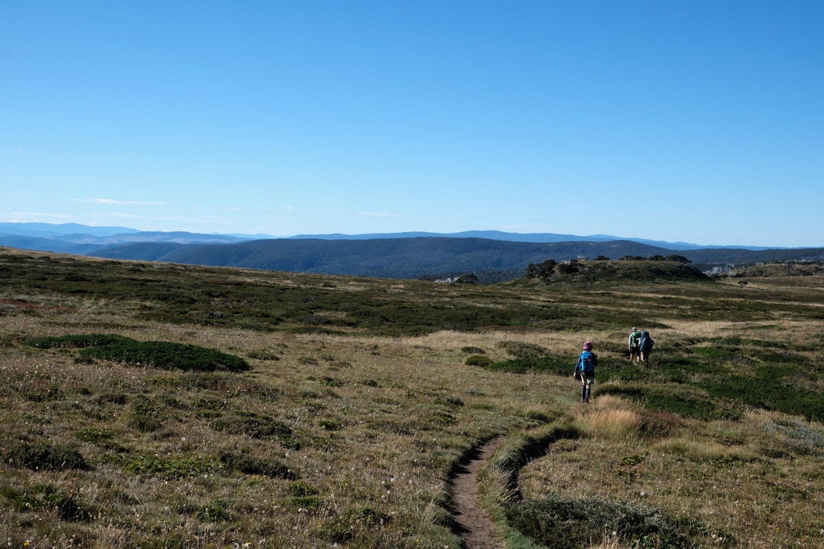
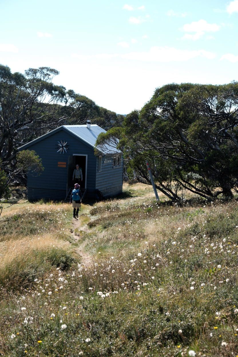
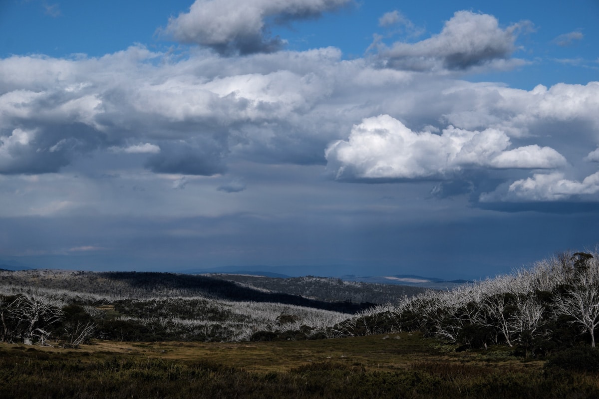
The walk starts at the Mount Loch Carpark in the Mount Hotham ski resort, next to the top of the aptly-named Heavenly Valley Chairlift. The car park has a commanding and unobstructed view out over beautiful forested high-country hills. Just visible in the distance are the Bogong High Plains. Our walk took us out past Mount Loch and Derrick Hut and down a long, steep descent from the ridge to Cobungra River. Despite it being in the middle of the driest March on record, and at the end of a very dry summer, the creek was still flowing. It would be hard to find a more perfect camp site than on the three elevated platforms sitting next to a quiet, deep swimming hole. We arrived early afternoon, after about five hours of walking, and decided to continue to the camp site at the confluence of Swindlers Creek and the Cobungra River, another five hours away.
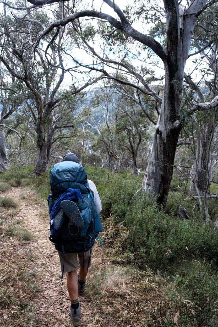
Open high country eucalypt forests make for easy walking and some great view points.
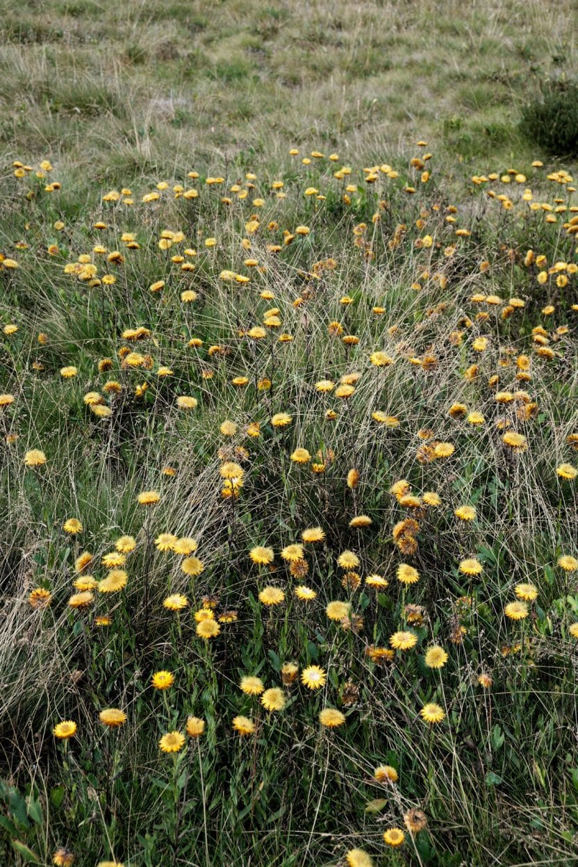
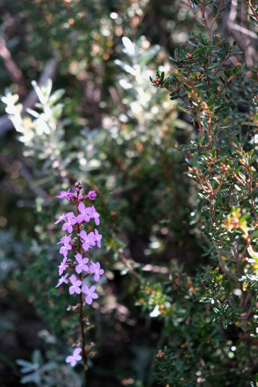
Like these scaly buttons several species of native wildflowers are still flourishing on the high plains.
From the river there’s a steep track up out of the valley on to the Bogong High Plains. As we were climbing, I again started to see what then couldn’t be unseen; more and more weeds, extending out from the track and across the alpine heath and grasslands. I also started to notice more and more horse and deer hoof prints and destruction, no doubt connected to the spread of weeds. Despite the beauty of the landscape my mind kept pulling me back to the threat that these feral animals and exotic weeds pose to this fragile environment. Branching off from the Australian Alps Walking Track we took Young Hut Track.
After lunch at the hut, our bush skills were put to the test as we navigated the three to four kilometres of untracked terrain in a outherly direction to the start of the Paling Spr Track arriving just before dusk at the confluence campsite.
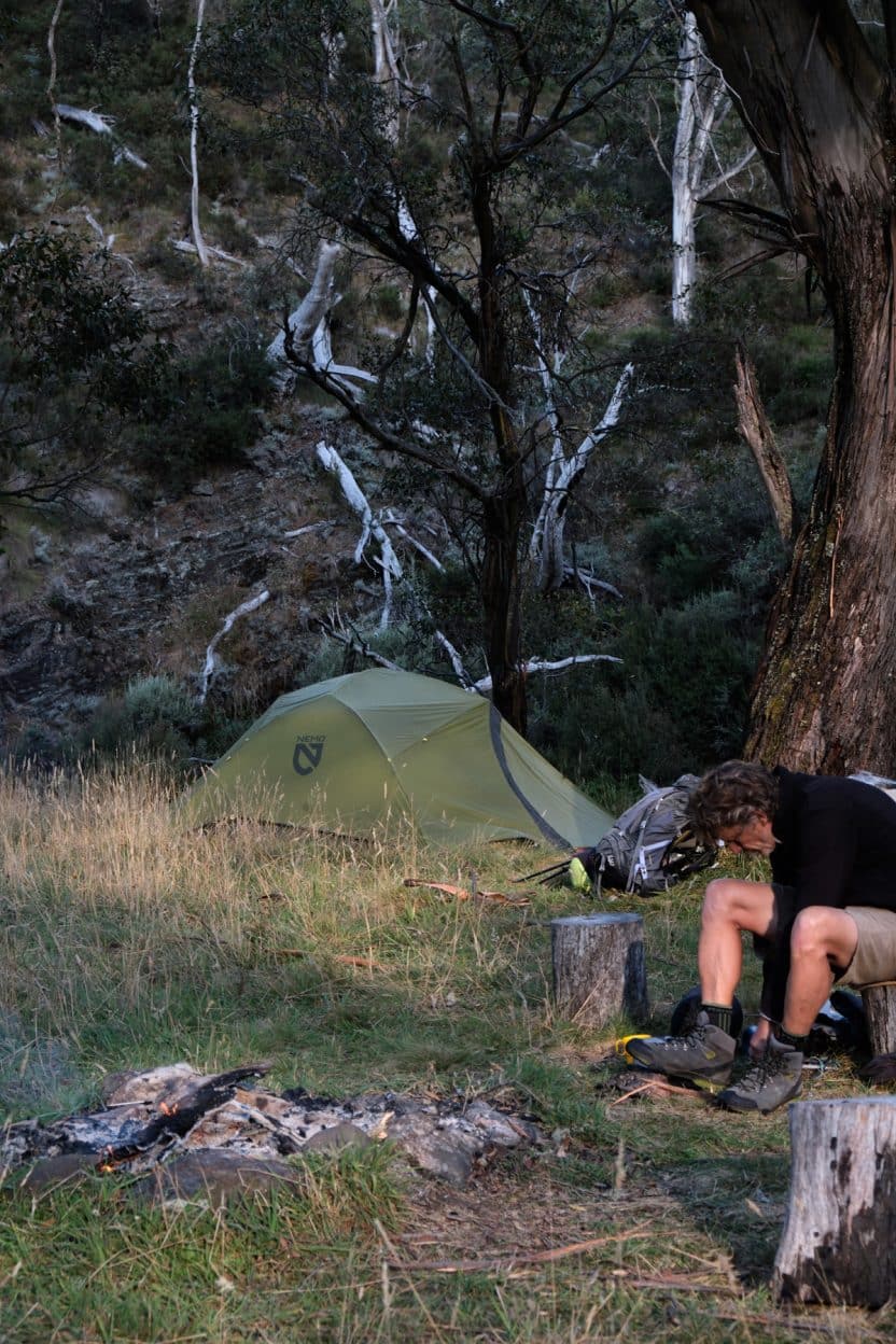
The following morning, still tired and sore from the day before, we negotiated a narrow, obscured path along the river to cross Murphy’s Creek. While climbing the steep Brandy Creek Firetrail – before the 11 kilometre slow easy climb along the old Cobungra Ditch water race out to the Great Alpine Road – we had our epiphany. This wasn’t a two-day but a three-day walk! It could go like this: coffee and breakfast in Harrietville at the base of Mount Hotham then a few hour’s hike to Cobungra River for a leisurely afternoon at the swimming hole before staying the night. The second night’s camp would be at the confluence and the third day would be spent walking out. Your quads will thank you.
Presented by Osprey and Nemo Equipment
