Gariwerd (The Grampians) has dominated both the region’s landscape and legendary local stories for aeons. Its striking features of tilted sedimentary ridges is etched into the myths of the Djab Wurrung and Jadawadjali people.
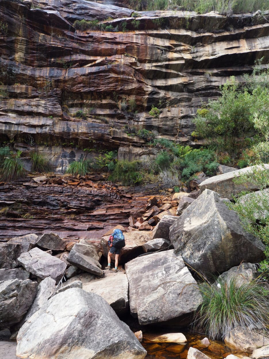
The recently completed 165-kilometre Grampians Peaks Trail celebrates the stunning flora and fauna of this epic topography and connected Indigenous heritage. It can be hiked in its entirety as a guided trek with Grampians Peaks Walking Company or there are several shorter options. We chose the three-day Northern Huts route which commences at Troopers Creek and finishes in Halls Gap. Leaving the trailhead, the track weaves through dense scrub, crossing a stream to Gar Falls. With the first rains of the autumn break having taken place several days prior, waterfalls cascaded down the sheer wall filling the natural amphitheatre with mist and spray, and creating a microclimate for the ferns clinging to the rockface.
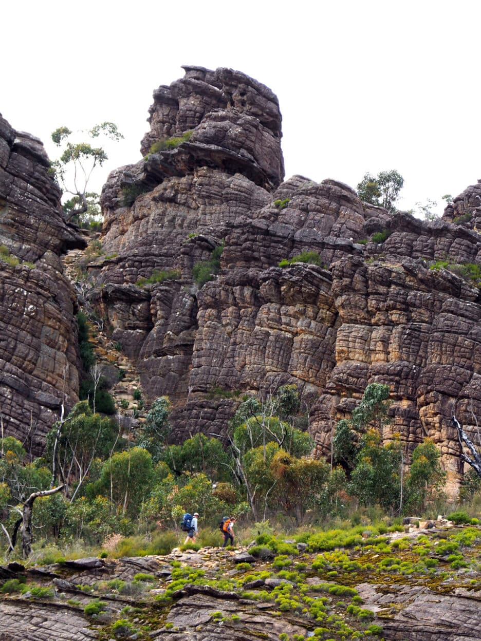
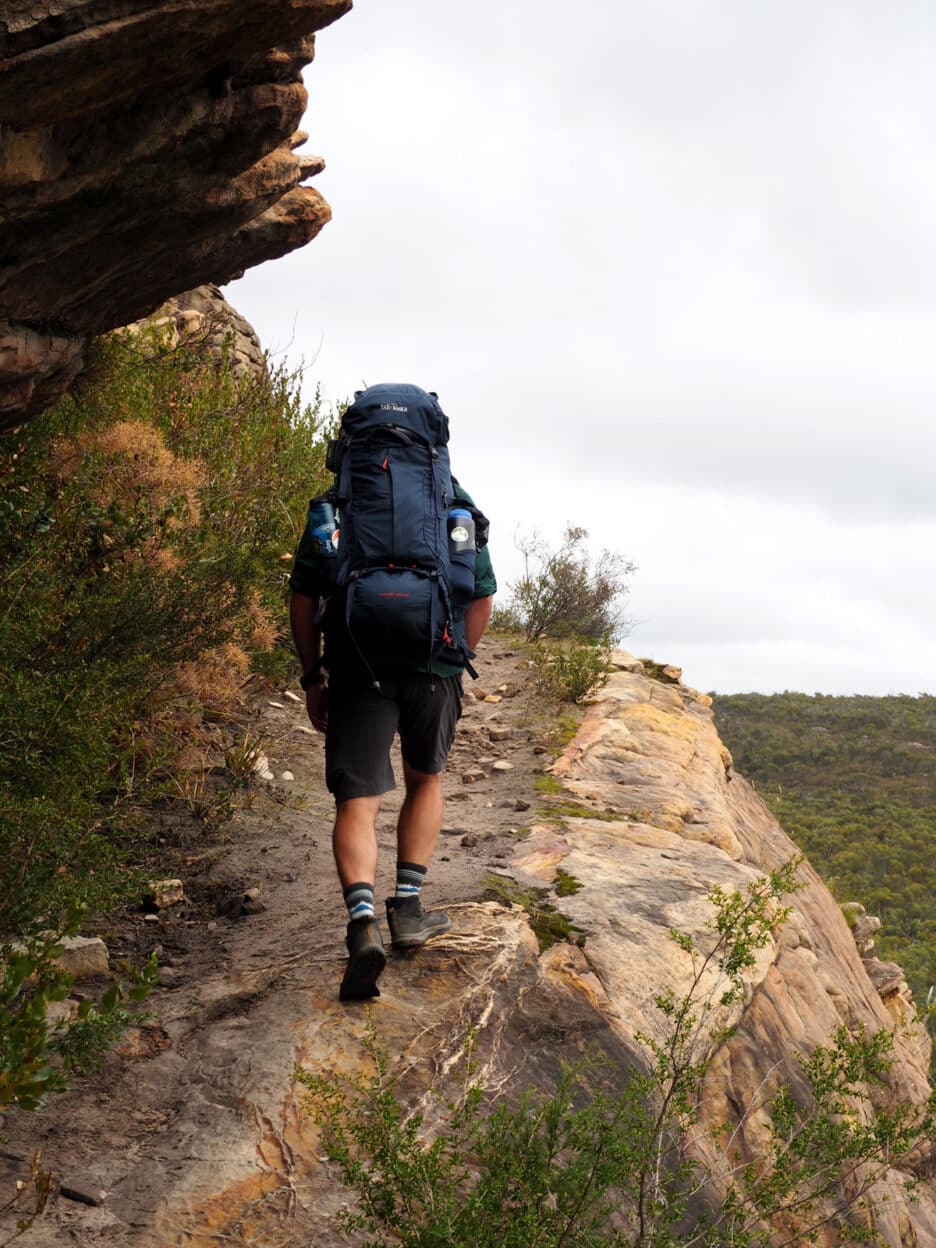
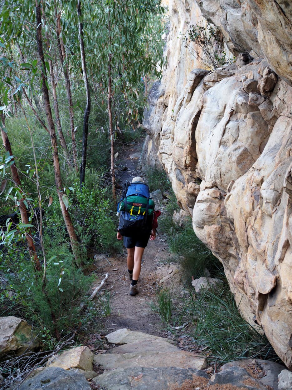
Following the base of the Gar (Mount Difficult) ridge, we ascend through a steep chasm with intricately laid stones. The enervating effort in creating the trail is hard to comprehend. Our guides informed us that often a full day was required to wrestle just three rock slabs into position for steps.
Following the base of the Gar (Mount Difficult) ridge, we ascend through a steep chasm with intricately laid stones. The enervating effort in creating the trail is hard to comprehend. Our guides informed us that often a full day was required to wrestle just three rock slabs into position for steps.
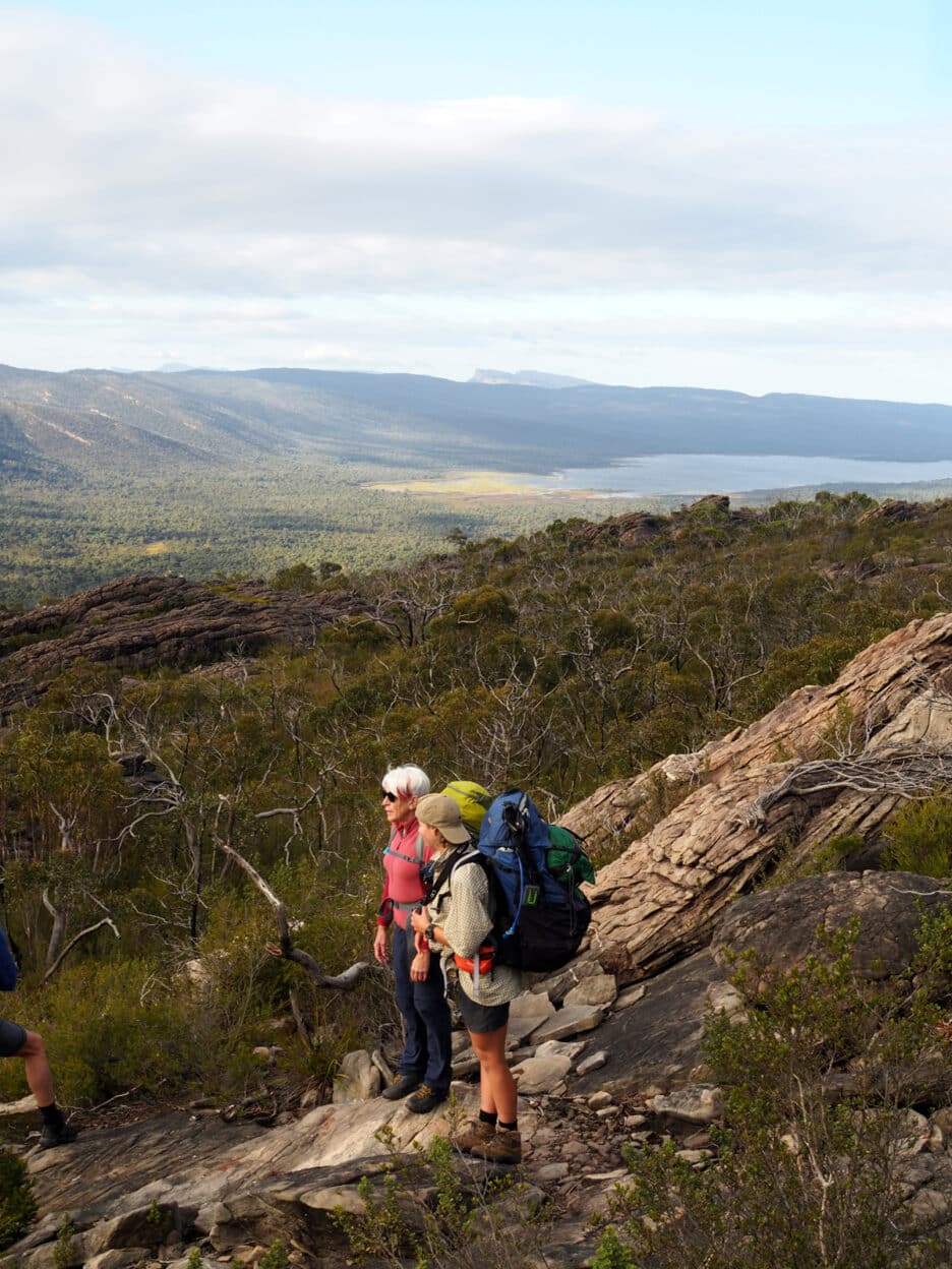
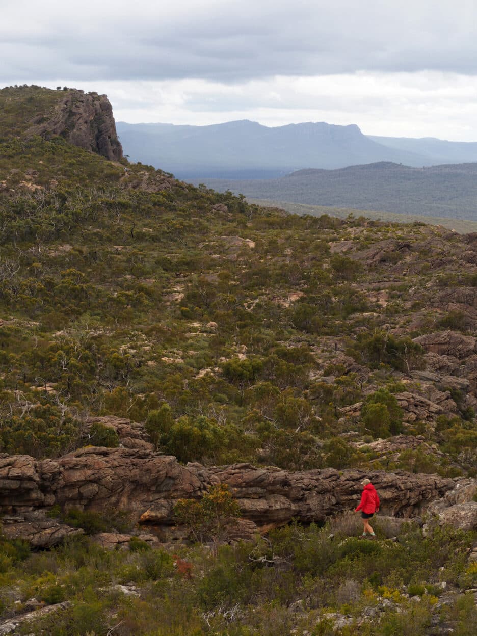
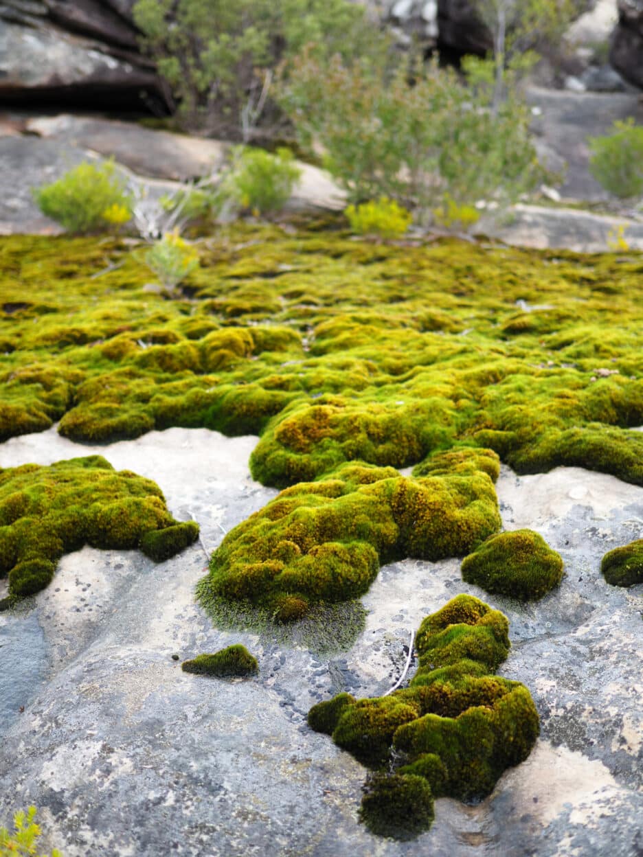
From the ridge top we head out to Briggs Bluff. Stunted eucalypts amongst heath species dominate this exposed sub-alpine terrain with the rocky platforms covered in mosses and ephemeral herbs. From the high point, views east are to Stawell and the distant Arapiles. Back west the proud formation of Gar extends. The striking geological formations feature prominently in the local Indigenous dreamtime stories of Bunjil, the great spirit creator of the mountains, forests and rivers. Gariwerd has provided shelter and plentiful food over the millennia, hence the prolific rock art across the ranges and valleys.
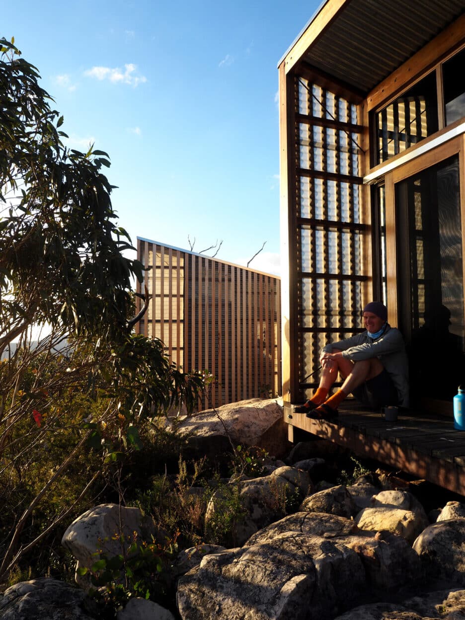
Late afternoon the communal hut appears from through the low open woodland. Further on, the architecturally-designed four-berth huts are perched on the tilted ledge with panoramic views to Mt Stapylton and the setting sun. The communal hut’s considered design encourages a regrouping over a cuppa as the crimson sky is framed in floor to ceiling window.
The following morning, we set off in pitch darkness to catch the sunrise from Gar. Picking our way across the quartzose sandstone platforms, we crest the summit to be greeted by a stiff nor’wester sweeping up from the Wimmera Plains.
The weather gods were co-operating and the red orb steadily appeared, lighting the serried ridges peeling off to the Werdug (Wartook) Basin.
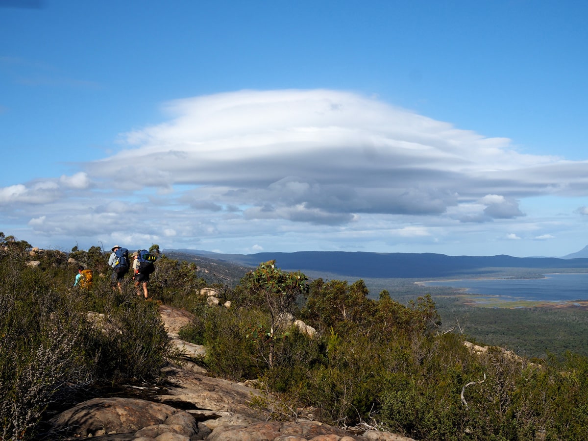
Post brekky, we head south along the main range as a crisp clear morning revealed the full splendor of this northern section of the trail. Our lunch stop was at a dramatic escarpment with vertiginous cliffs providing uplift for soaring wedgetail eagles. Below in the lee, flame robins flitted amongst the protective scrub.
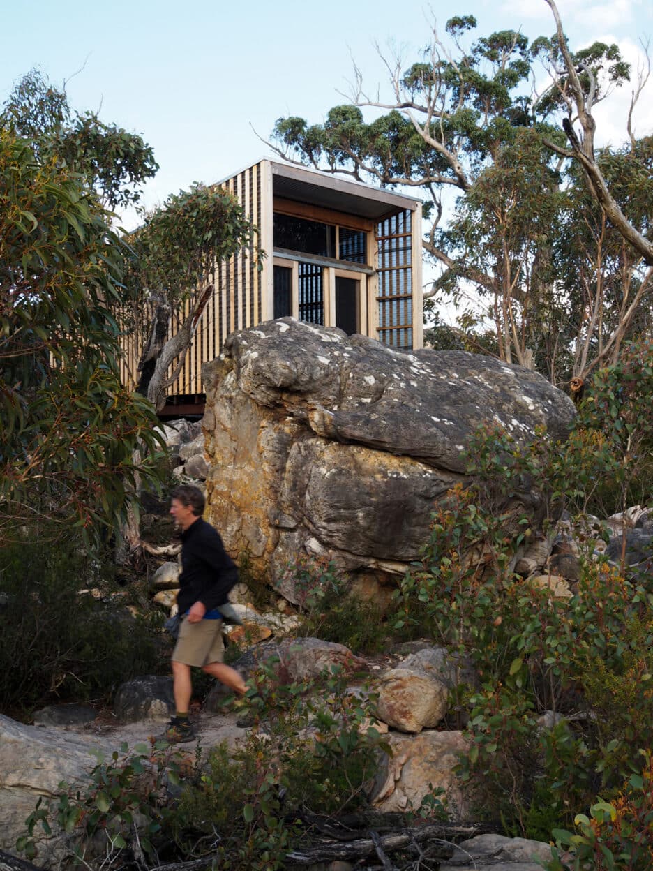
The huts at Werdug are possibly in an even more spectacular setting, nestled among towering boulders. The rocky balcony of one hut became an impromptu happy hour hangout as we kicked back with steamy miso soup, reflecting on a spectacular day.
A cold front swept through overnight with wind and pelting rain foreboding an ominous morning. Yet dawn was dry and clear as we headed out towards the Lake Wartook Lookout.
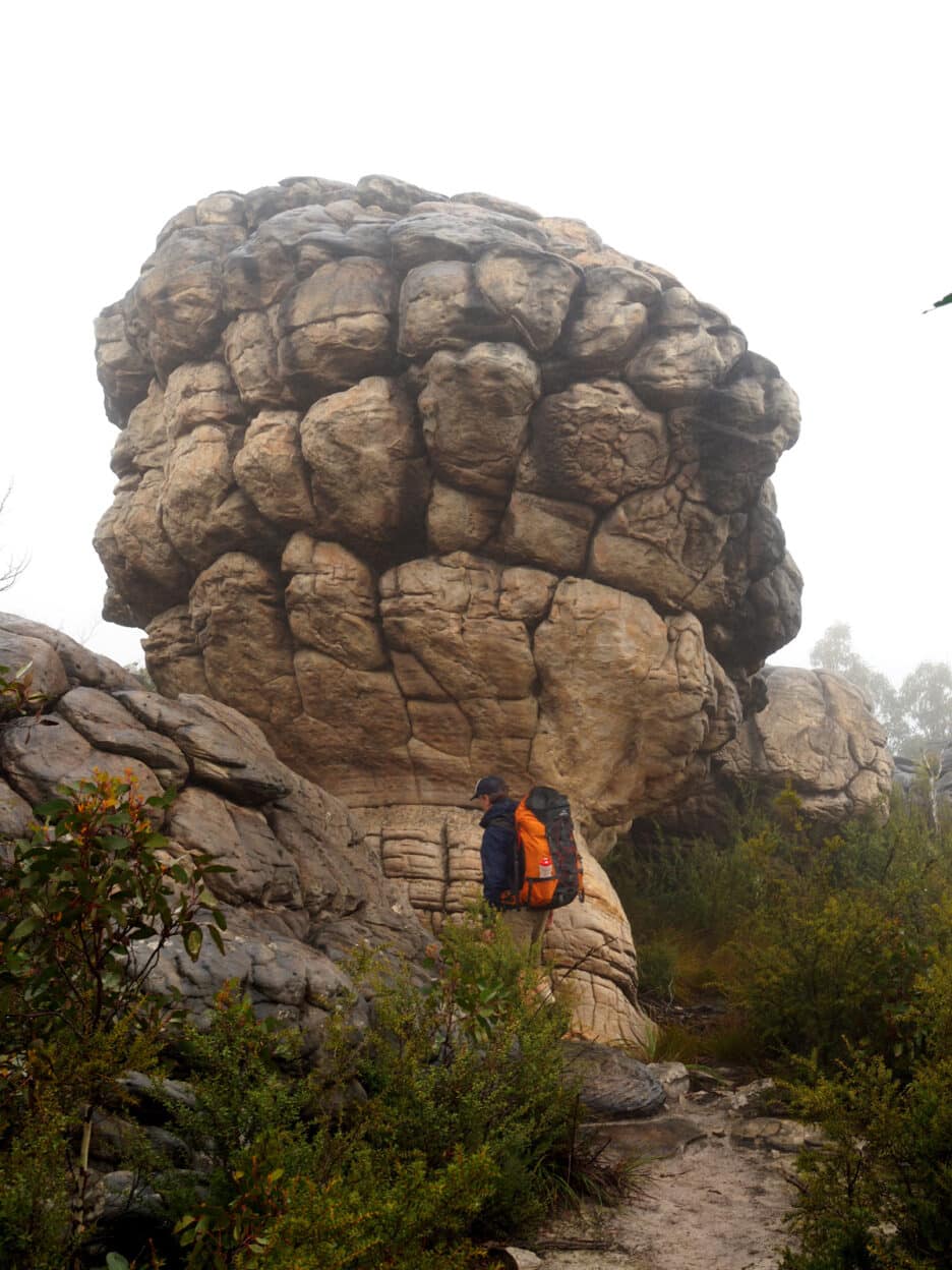
As happens frequently at an 800-metre altitude, conditions did alter and we were engulfed by mist and drizzle. The range now had an eerie mood as low cloud swept up the valleys during the descent through dense messmate forest. The final stage brought panoramic views from Chatauqua Peak (Bim) down to Halls Gap.
After three days we felt emboldened to tackle the central or southern section of the trail on our next trip, hopefully during the spring wildflower display. We were hungry to be immersed further in this vast national park. And the imparted knowledge of our guides had only just whetted our appetite for another visit to Gariwerd.


