Traverse a deep gorge, see stunning waterfalls and swim in a rock pool, all on the outskirts of Sydney.
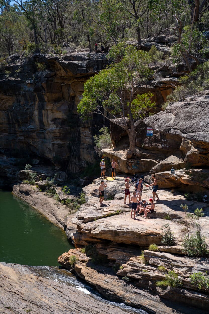
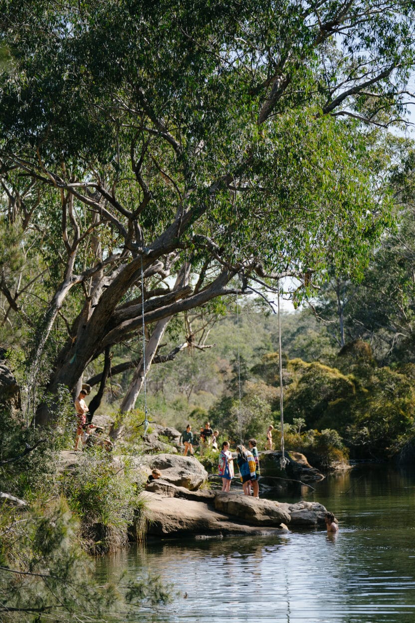
We’re certain that Tahmoor Canyon is a portal to the Northern Territory. At least, it’s hard to believe that such a place could exist in Sydney’s suburban fringe. This pet-friendly walk follows the Bargo River through an open valley that gradually descends into a steep gorge. It is a popular place for locals and can get busy on the weekends. The further you venture into the canyon, the less people there are. Very few walk beyond Mermaids Pool and those who do are rewarded with solitude and prime nudie swims.
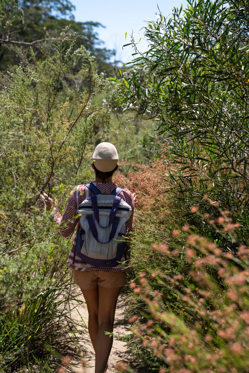
From the Rockford Bridge car park follow the trail under the bridge and along the riverbank. This is the widest section of the river and canyon. Here we find an abundance of shallow pools and sandy beaches. The trail is well-defined, but you can also walk in the river itself if you are not in a rush. Huge grey gums shade the river’s edge, while red bottlebrush and soft yellow wattle tickle your legs and kiss your face as you walk past.
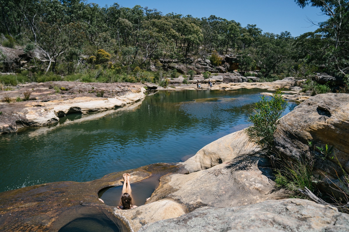
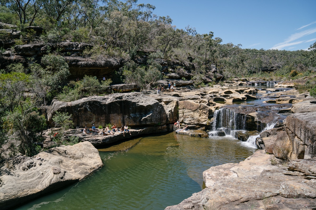
The trail stays very close to the river for most of this section, which is slow-moving and warm. This area is defined by a series of potholes (some of which you can see through) and a short waterfall with a deep pool at its base. Flat rocks abound, making it a natural stop to take a break.
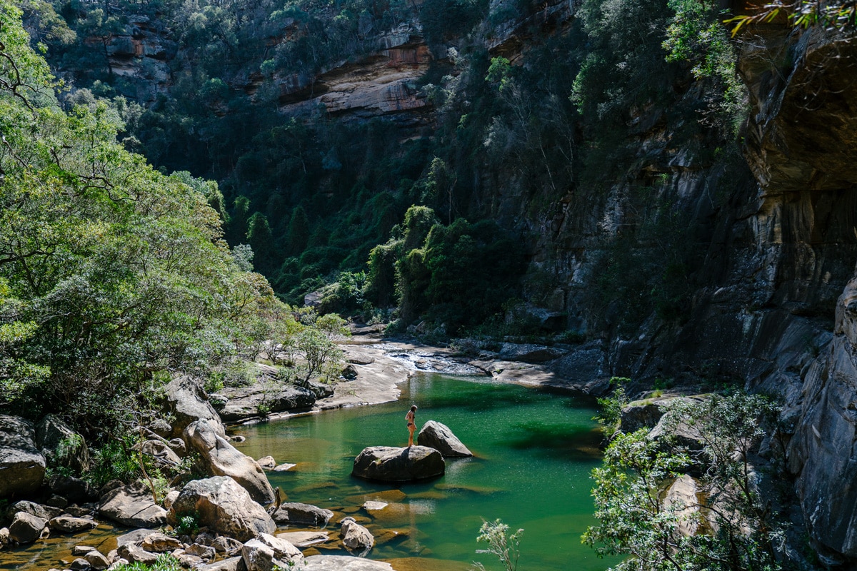
Follow the riverbed downstream, walking along the open rock slab. Although the trail is unmarked, the terrain is relatively at and easy to navigate. Stay close to the water and you can do no wrong. Mermaids Pool is the most obvious feature you will come across, it’s an enormous natural amphitheatre where the Bargo River abruptly plunges 15 metres into a deep, green pool.

There is no safe entry to, or exit from, this pool. As a spectator, it remains one of the most impressive water holes we have ever seen in Sydney. The track continues on past the gorge from the top edge, so you can view it from many angles.
A number of scrambly paths ascend out of the river valley to the east (right-hand side, when you are looking down river) and take you to a well-defined walking track at the top of the gorge. The track is additionally marked with ribbons in the trees and follows the canyon rim past a number of vertigo- inducing lookouts. The path then heads into the bush and reaches the Jacks Pass intersection at a large, red toolbox mounted to a post. Inside, you will find a logbook and maps created by local bushwalker and trail builder, Robert Sloss. Most people don’t bother walking beyond Jacks Pass, which makes the next section all the more special. It’s the deepest, most beautiful part of the canyon and you can often get it all to yourself. Take the left-hand fork from the red toolbox and descend back down into the gorge. The track follows a steep gully with good footing. Continue down river, following the loosely de ned track along the water’s edge to Big Bend Pool. This is a deep, narrow pool at the heart of the canyon and a great place for a private dip.
Scramble further along the banks of the Bargo River, following ribbons and spray-painted markers. The track crosses to the left-hand side of the water just past the two-tiered Devil’s Knees Waterfall, your last chance for a plunge. Hug the left bank for about 100 metres before crossing back over. Stay to the right and keep an eye out for the ribbons here, it’s not challenging but requires mindfulness. Rosie’s Pass is a well-defined track ascending out of the canyon.
It’s a short but steep climb up to the tablelands. You’ll be wishing for one last pool, but alas the only reward for your effort is a great view at Squatters Lookout. The Old Logger’s Path is well-de ned, supplemented by ribbons, reflective badges, and even a couple of laminated maps (thank you Robert). After being confined to the narrow canyon floor, there is a certain relief that comes with walking in an open forest. Follow the track back to the red toolbox and you are almost home. After a day of walking, swimming, and eating we take this final stretch like a couple of horses coming home to the stables. Ears back, mouths foaming, no conversation, and a little extra pace in our stride. This is all backtracking, but we stick to the high trail, rather than ambling along the river the way we came. The trail is easy to follow and goes quickly. Keep the river within sight and you will be back at the Rockford Bridge in no time, ready to eat a carrot and get the saddle of your back.


