Fly in, no roads, no towns, big sky, sweeping views and sleeping by the ocean for a week in this World Heritage area is peak Tasmanian wilderness.
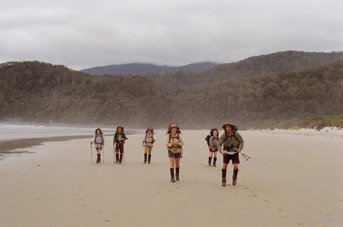
The South Coast Track is an 85-kilometre (6- to 8-day) hike on Needwonnee and Nuenonne Country along the coastline of south-western lutruwita, otherwise known as Tasmania. The country that unfolds along the way has so far survived development and has never been cleared or destroyed. What results is a hike through country in absolute and unabated splendour, as it was always intended to be.
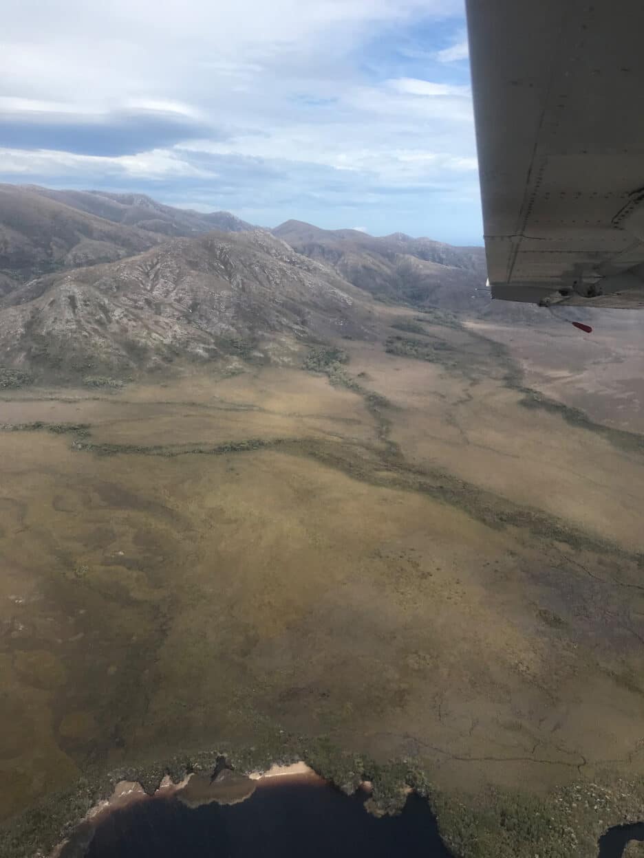
This hike has earned a reputation for being one of the most naturally stunning hikes on the continent, as well as one of the most challenging, and I’m inclined to agree with both of these claims.
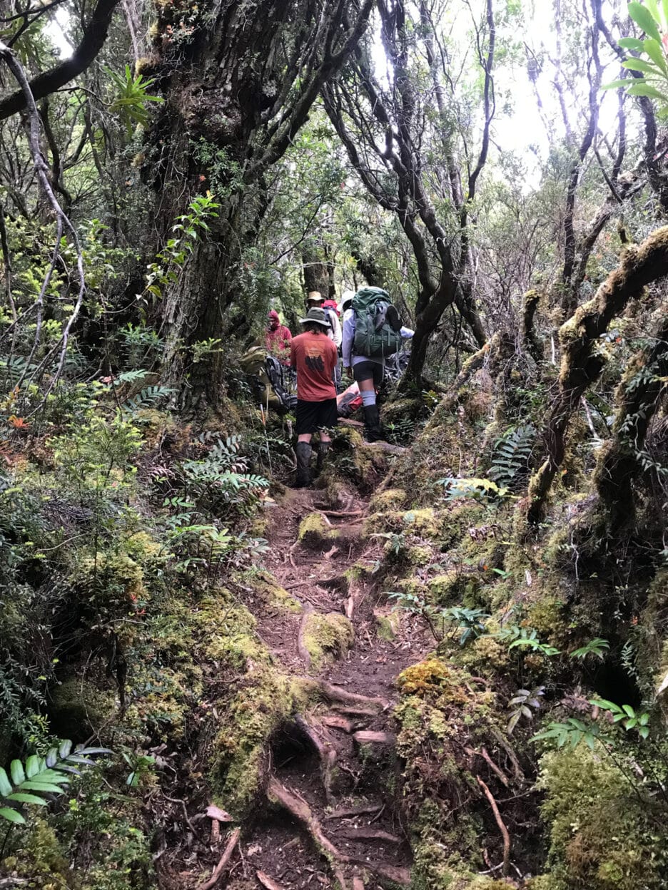
The track travels between Melaleuca, a research outpost with an airstrip only accessible by plane, and Cockle Creek, the most south-western town accessible by road. It can be hiked in either direction, but we opted to begin by flying into Melaleuca in early January, when it is warmest.
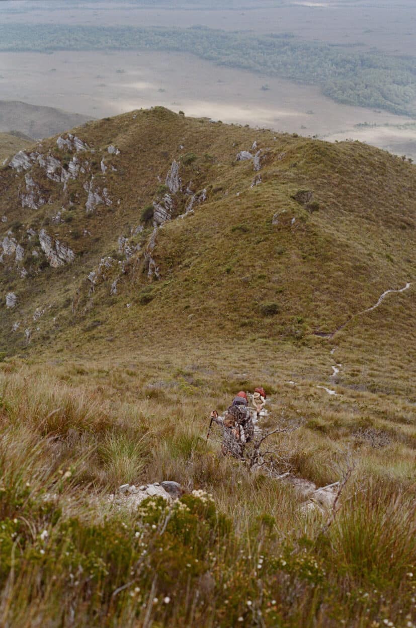
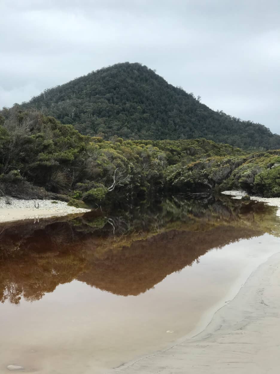
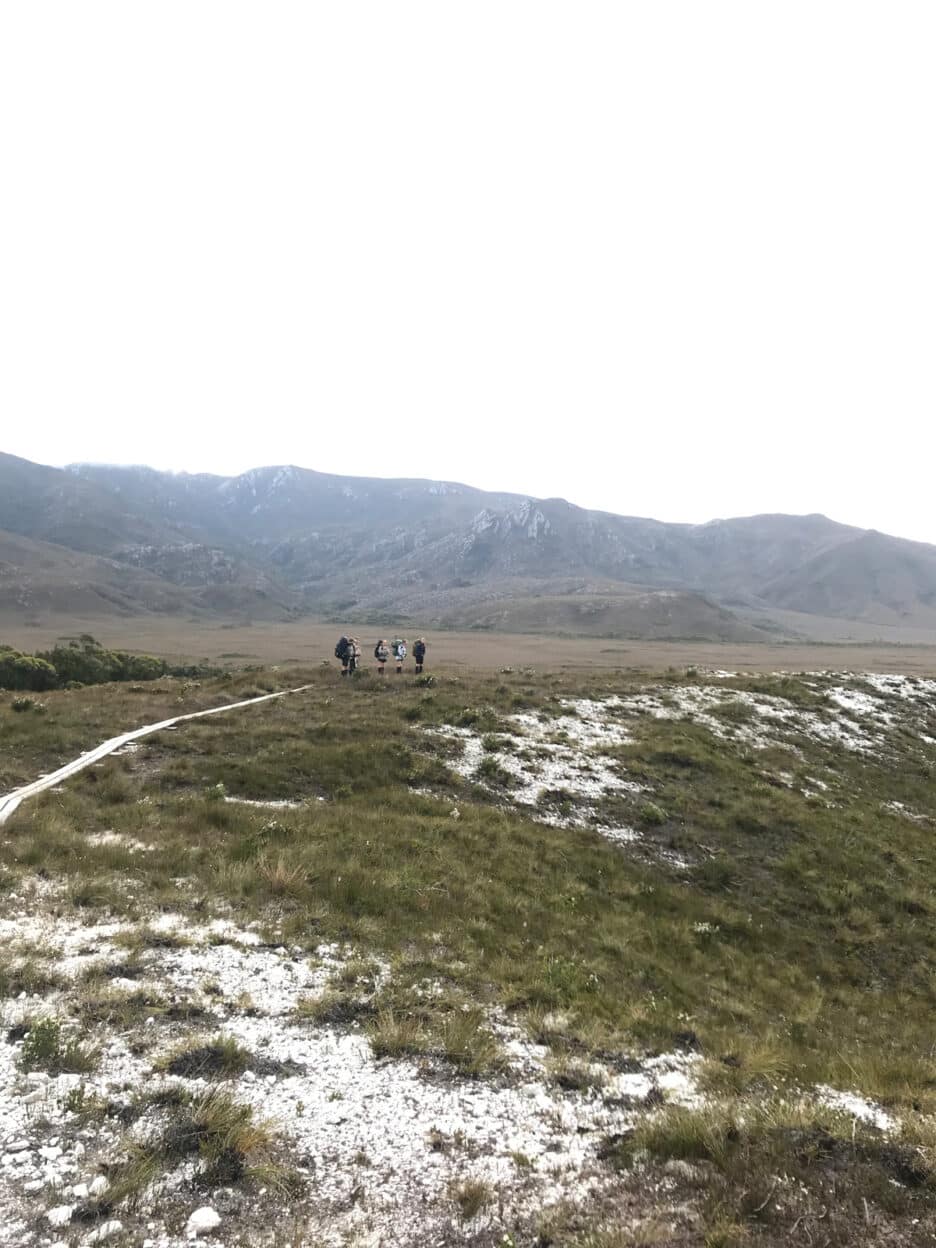
The country around here is mountainous and wet all year round. The track winds through diverse landscapes as it moves back and forth between the beach and the hinterlands. Set back from the vast beaches are wide buttongrass plains where the water table is only centimetres below the surface and the earth is quite loose due to the lack of deep-rooting vegetation. As such, the track here can at times resemble a series of mud baths. I recommend testing a puddle before taking a leap of faith, or else you might just lose a boot or a fellow hiker.
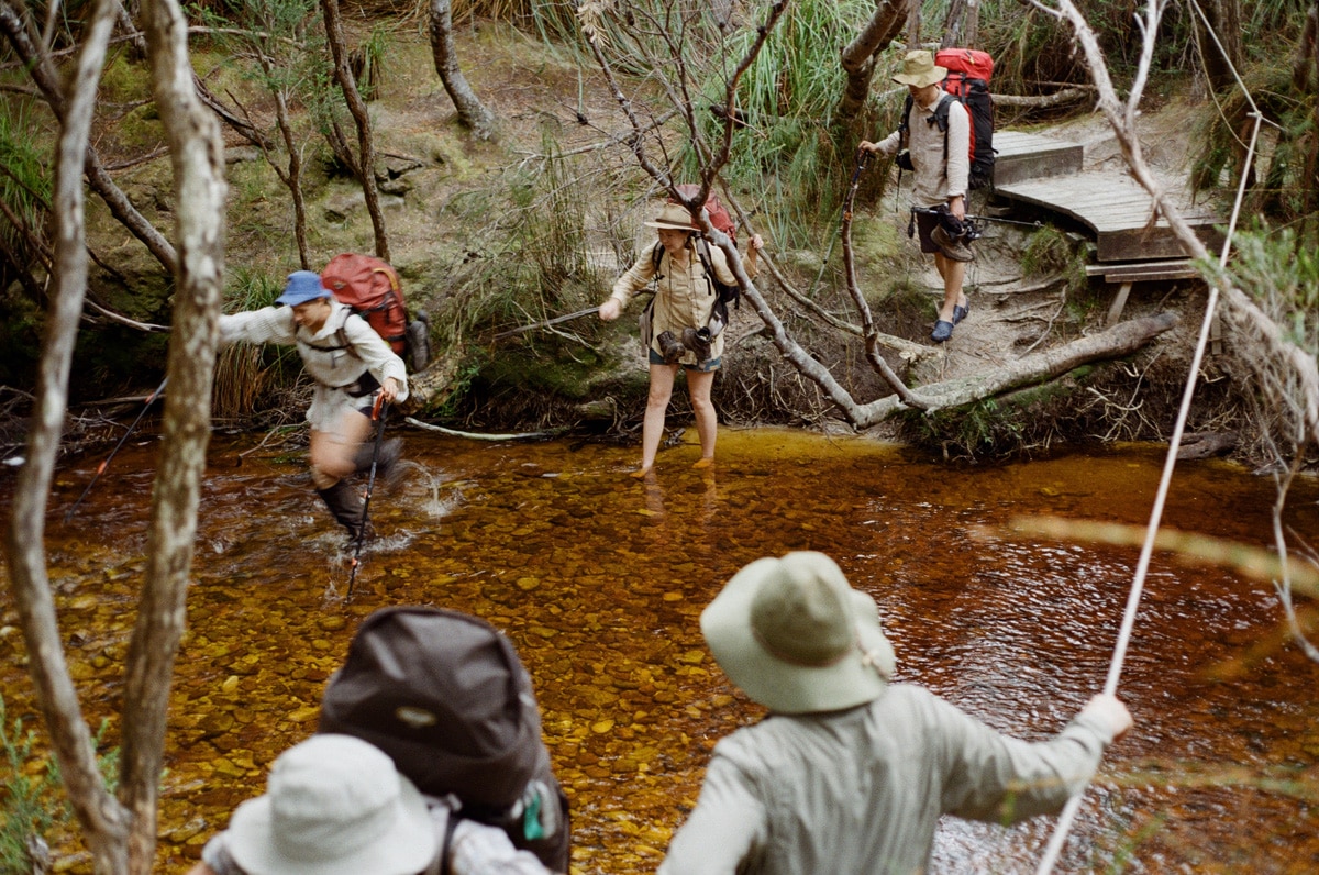
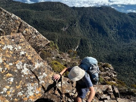
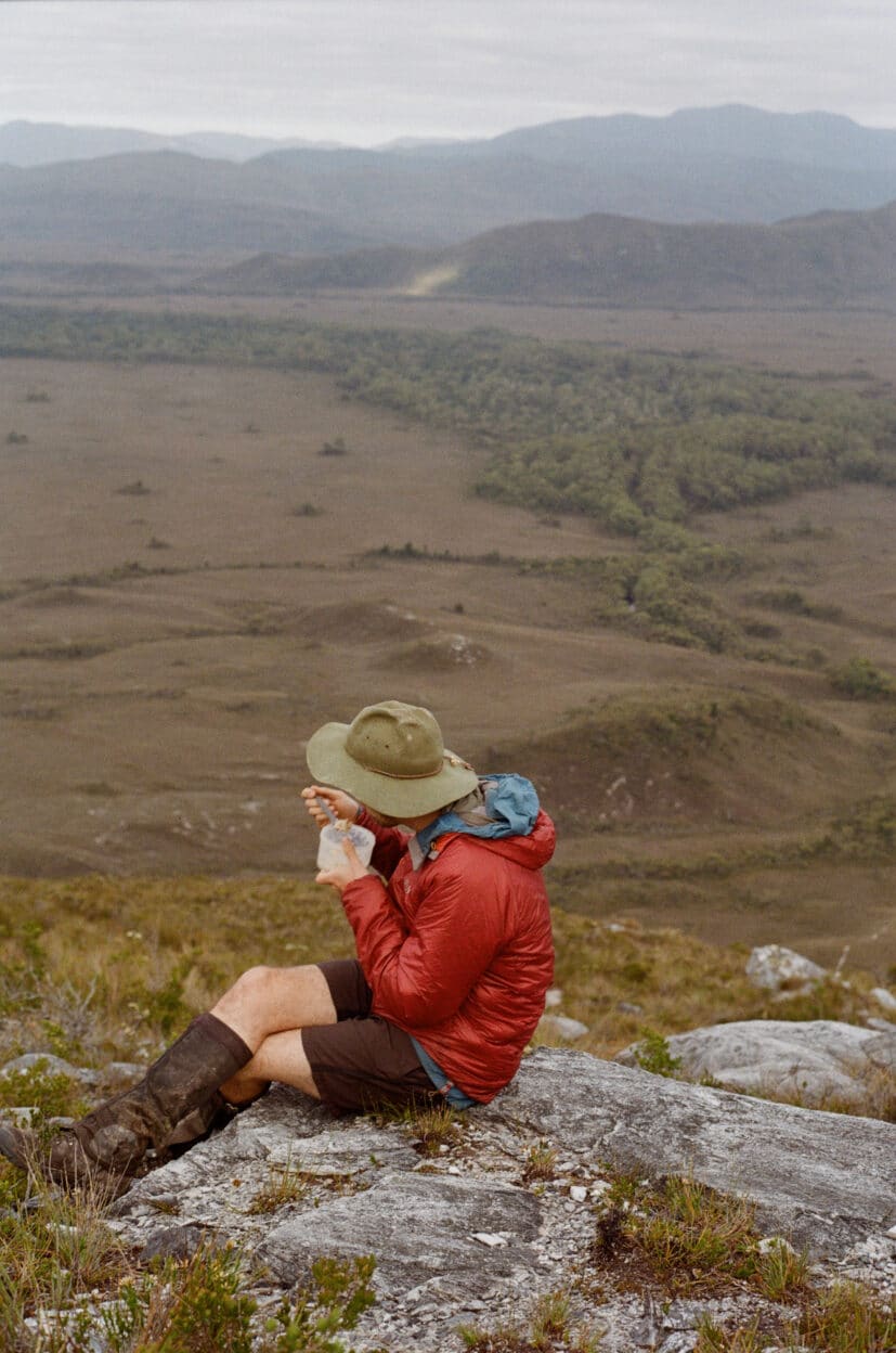
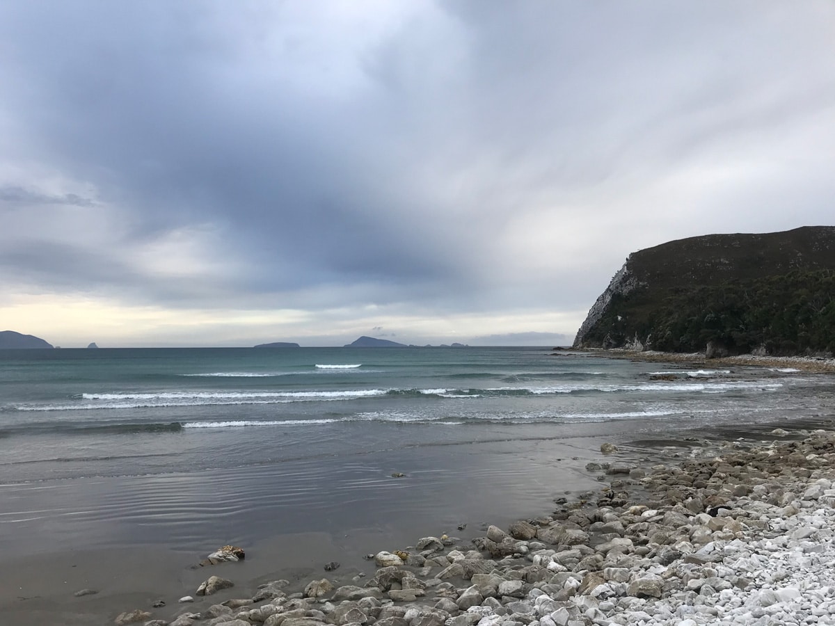
These plains lie between the quartzite mountains which dominate this landscape, and much of the difficulty of this hike is in scaling these. Climbing out of a bay and descending into another establishes itself as the rhythm of your days as you make your way along the coast. The reward of the effort in climbing lies in the views from the peaks. At height, the country is revealed in its entirety. Mountains run into the ocean. Valleys are carved through their middles by steely rivers. The ocean waits implacably at the land’s edge, stretching o into the distance. It is a country of muted tones: blues, green- browns, greys. After long days of effortful hiking, most nights are spent camping by the beach and returning to be by the ocean each night begins to feel like seeing an old friend.
The Traditional Owners of the country that the South Coast Track is located on are the people of the Nuenonne band of the South-Eastern Nation and the people of the Needwonnee band of the South-Western Nation. While it is true that colonisation has led to the devastation of invaluable cultural knowledge that had been passed along for millennia, the Traditional Owners’ knowledge of and connection to Country is very much alive and enduring. Some of this history is captured in the Needwonnee Walk, a short circuit-hike from Melaleuca which is worth doing.
What was already known about this country through cultural knowledge has been further supported by extensive archaeological evidence found in the region – and even along the track itself – over the past 30 years. This furthering of understanding of the culture and history of this region resulted in its protection as the Tasmanian Wilderness World Heritage Area.
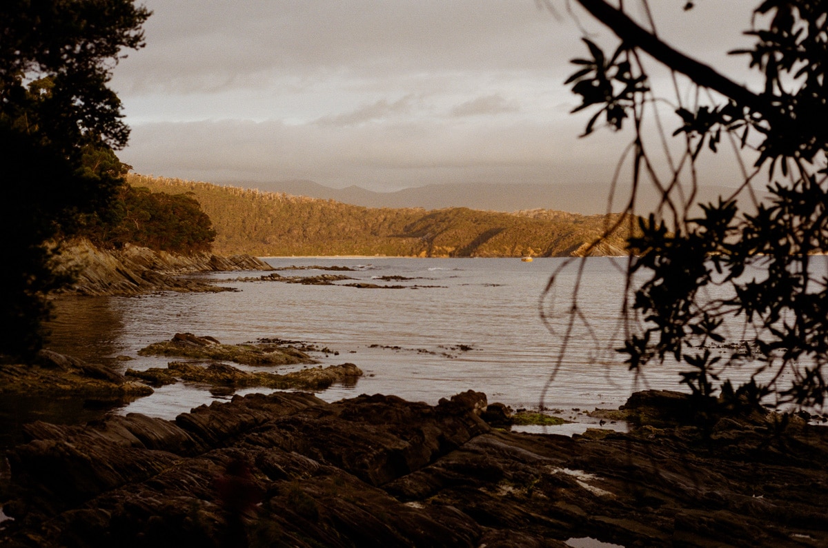
It is hard not feel incredibly grateful for this. As the walk comes to a close, I recalled the words of a man we had met on our first night of the hike at Cox Bight. He was from Hobart, he had explained, and had done the trail many times in his younger days, but due to his knees could no longer handle the weight of a pack. Still, he ew to Melaleuca twice a year and instead of hiking he camped for a few nights at the first campsite, by the beach.
“I come here for the big sky,” he explained. “You don’t see this in many other places. The ocean, the big sky, the scale of these things gives you permission to slow down. It’s just enough space to think, or not to think … as you wish.”
