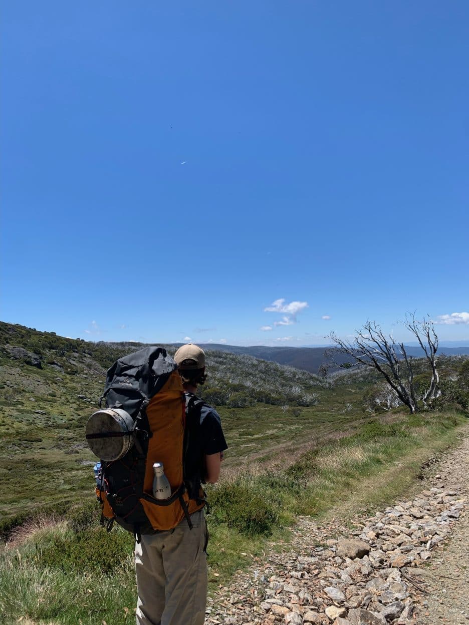
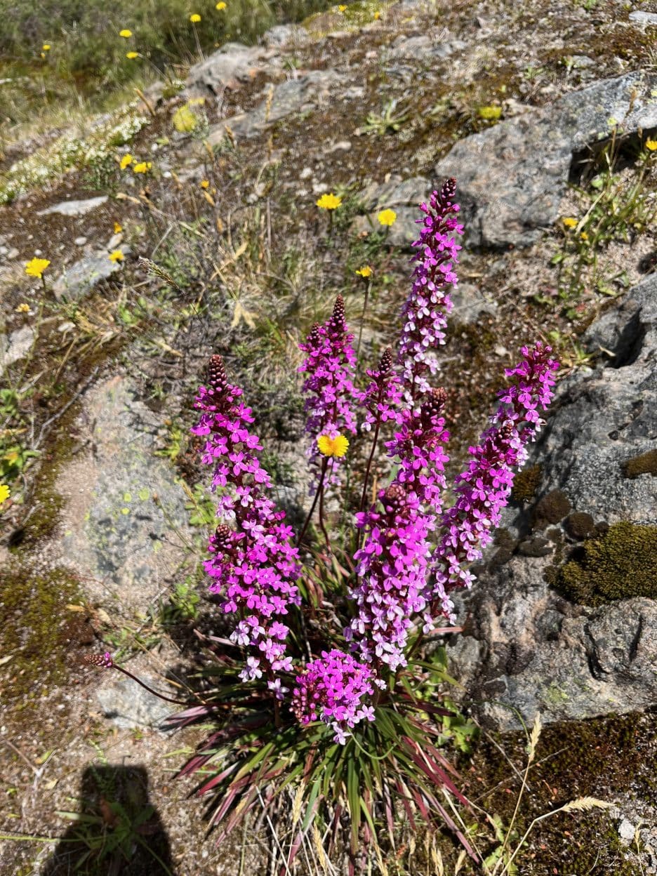
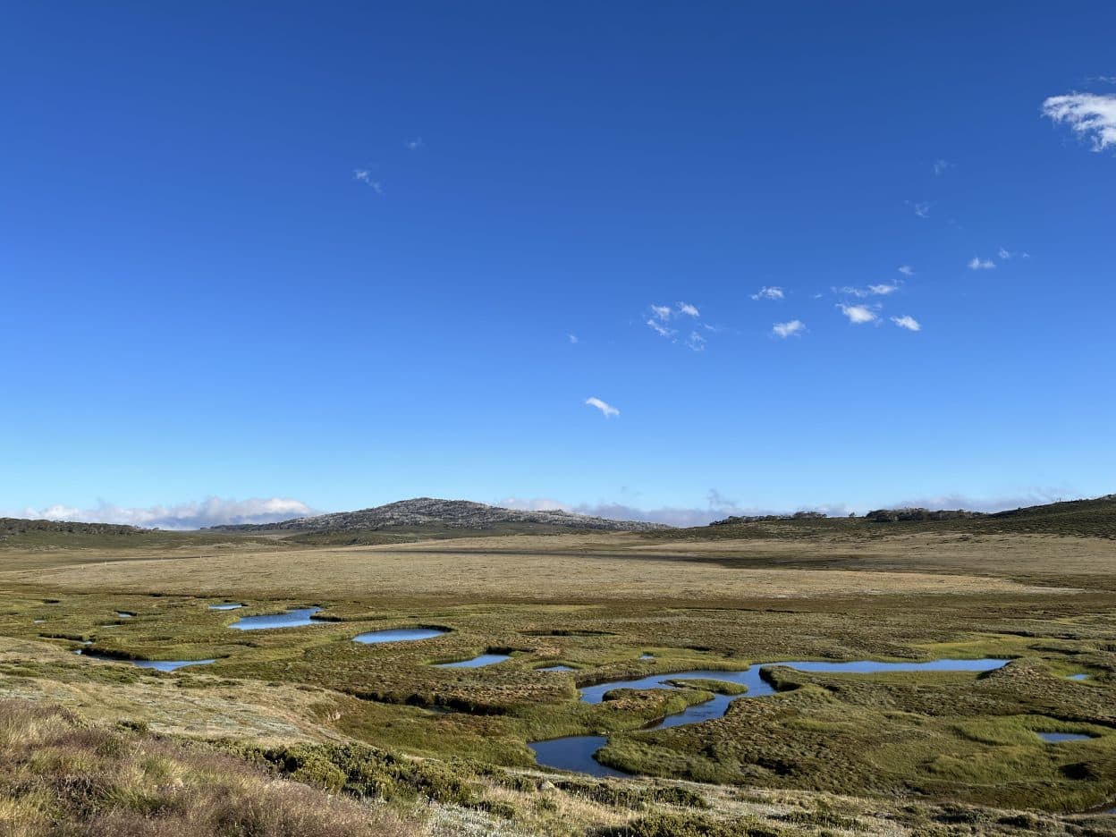
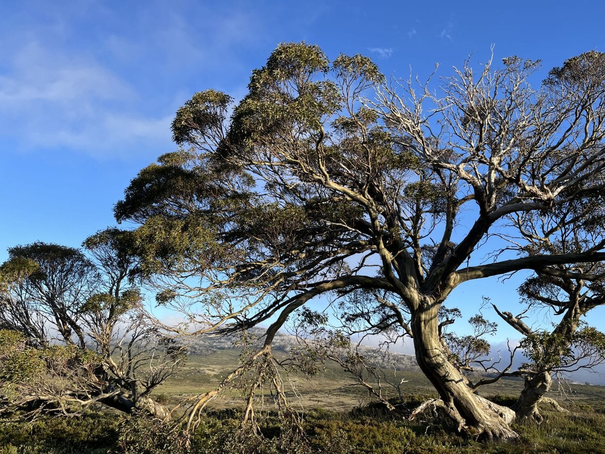
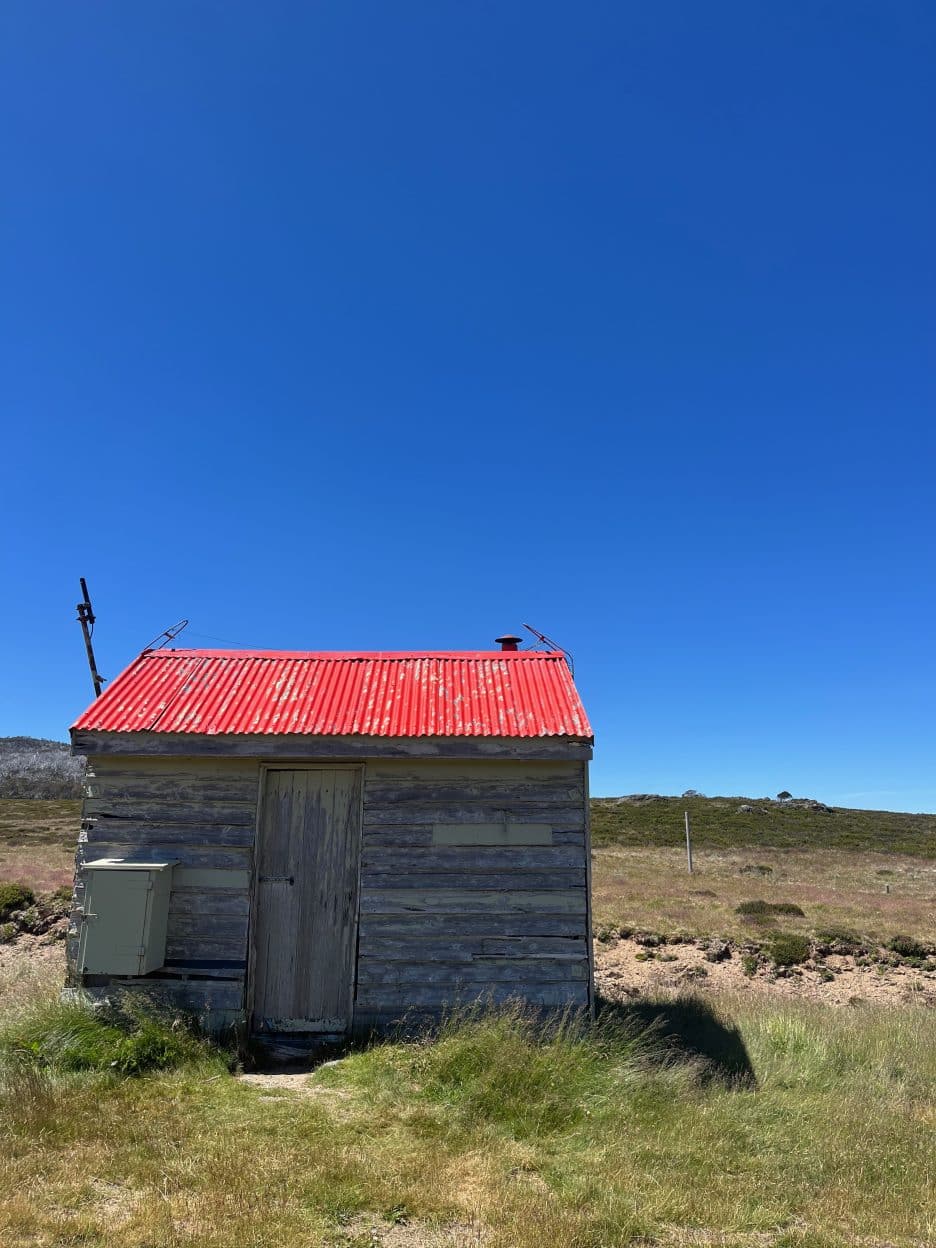
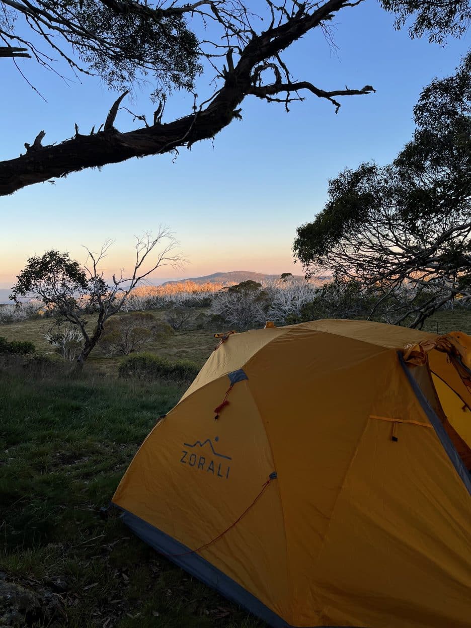
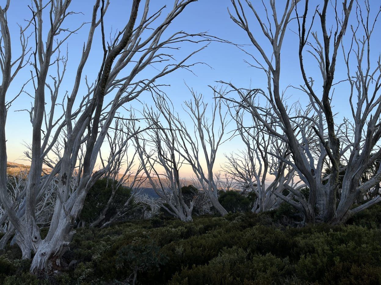
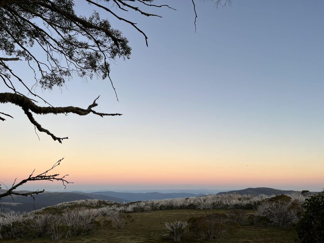
From the Pretty Valley Pondage Carpark and Picnic Area, take a short walk up Pretty Valley Road to Pretty Valley Track. This out and back overnight hike meanders through alpine grassy heathland, alpine grassland and sub-alpine woodland. When tackled in summer, yellow kunzea, alpine grevillea and grass trigger plants exemplify just a few of the plants that line the trail with their showy and colourful flowers. The walk heads towards Cope Saddle Hut, with its bright red roof beckoning in the distance. This is a perfect rest stop with a small creek nearby to splash the face and cool off on a summers day. For anyone interested in completing the hike over two nights, adjacent to the hut is the Cope Saddle Camping Area. The Pretty Valley Track terminates here, and the remainder of the walk follows the Australian Alps Walking Track. With large wooden posts marking the way, it is just under 4 kilometres to the Cope Hut Track and Camping Area. Nestled amongst gnarled and windswept snow gums, with expansive views of the undulating landscape below, this camping area is the idyllic reward after a solid day’s walk. Rest up and head back the way you came the next day.
Pretty Valley to Cope Hut, Victoria.
Moderate