This leg of the Great North Walk is a lush escape from the Sydney grind that offers plenty to see, do and eat.
For the last few months, we have been nibbling away at the 250-kilometre Great North Walk from central Sydney to Newcastle. Completed in 1988, this network of tracks offers a perfect cross-section of central NSW as it traverses cityscapes, national parks, beaches and suburban back streets. We have been digesting it in single-servings, indulging ourselves in extended day trips of eight to 15 kilometres with time to explore food and sights on either side.
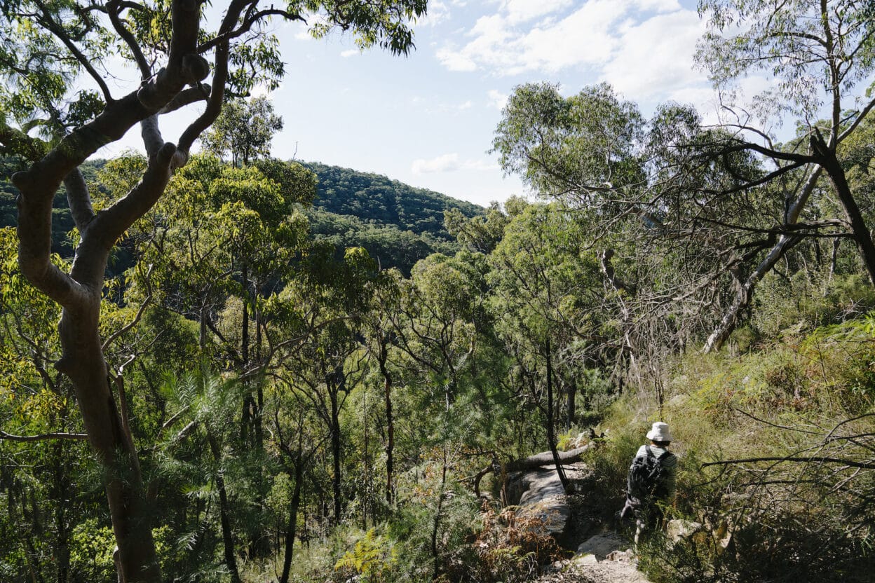
While always flirting with the built environment, each segment feels like stepping into a parallel world that is distantly connected to the surrounding city. There is a special joy reserved for discovering something new in familiar places and no one section better captures this feeling than the Benowie Track from Thornleigh to Hornsby. Here, any concept of being in Australia’s largest city is stripped away and you are transported to a different place and time.
Named for the Traditional Custodians of the area, the Benowie Track follows Berowra Creek to the Hawkesbury River. We love the track because it is easily accessible via public transport, yet features completely uninterrupted bushland between the start and end points.
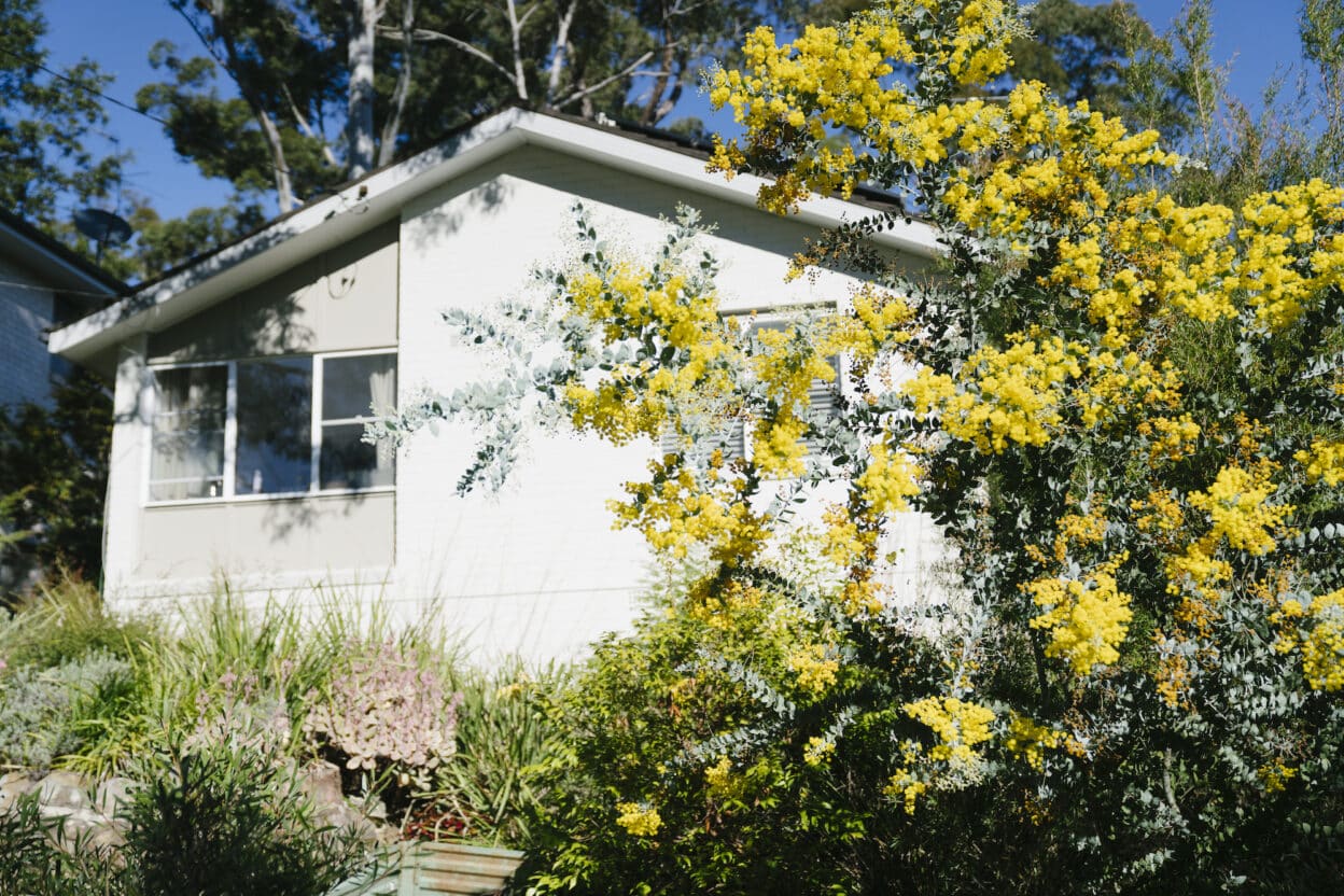
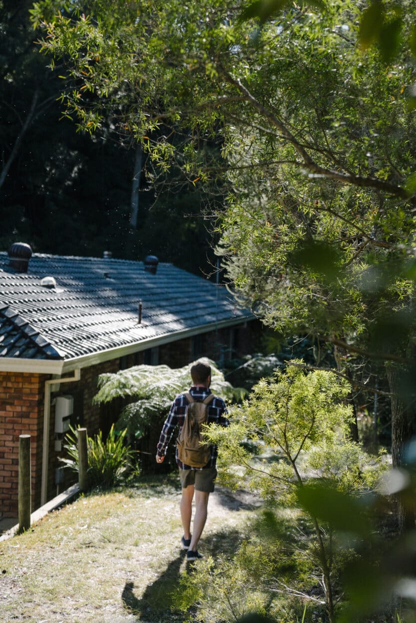
From Thornleigh station, we start our day with a coffee at Monday Morning Cafe (see Rest Area) before continuing on to the trailhead. Follow signposts for ‘The Great North Walk’ along Eddy Street, left on Tillock Street and then right onto Morgan Street (about 800 metres total). This leafy neighbourhood is filled with mid-century homes and the kinds of sprawling gardens that are entirely inconceivable to inner-city apartment dwellers such as ourselves. Acacias flaunt flamboyant blooms while evergreen branches hang low enough to tickle our heads as we walk past. At the end of Morgan Street, we find our portal; a narrow path between two homes that leads to the lush track along Zig Zag Creek.
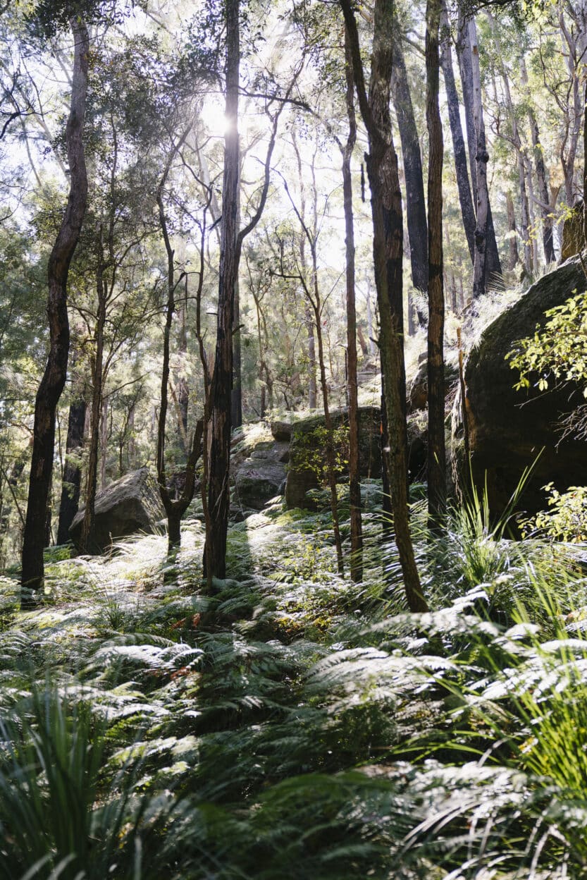
Stepping into Elouera Bushland Natural Park, you instantly leave the city and suburbs behind. More than twenty Aboriginal sites have been recorded in this area, including rock engravings, cave paintings, axe grindings, a water channel and a rock shelter. Zig Zag Creek joins Berowra Creek and it is not difficult to see why this would be such a desirable place to live. The air is cool and clean on the hottest summer day and plants erupt from every visible surface.
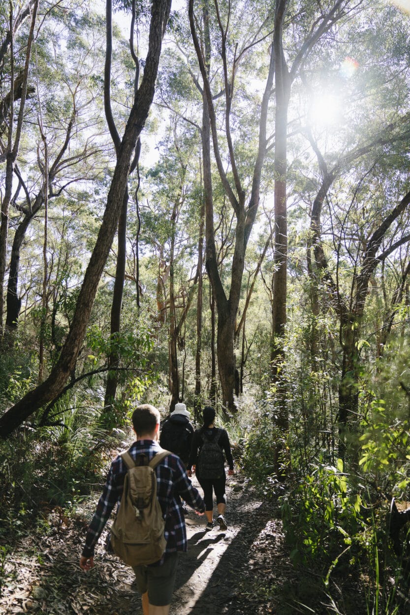
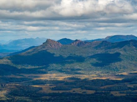
Keep the water to your right and follow signposts for ‘Great North Walk’ as you pass through open woodland and up a small hill to a well-marked intersection. The trail descends back to Berowra Creek where we jump across mossy boulders to the other side. Grass trees mark the beginning of a short but steep climb up the sandstone cliff to the sun-drenched Elouera Lookout. It’s one of the only uninterrupted views of Berowra Valley and the perfect place for a drink of water (optional) and a wheel of brie (essential).
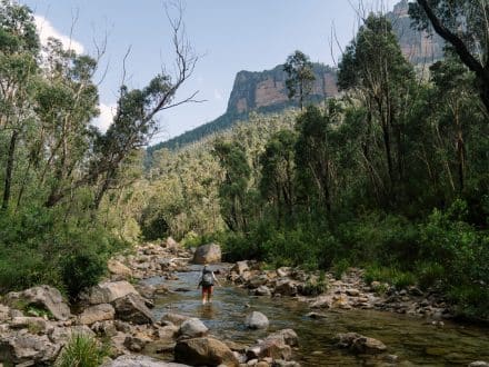
The track follows the fenced cliff line through scrubby casuarina forest for a couple hundred metres until it begins its steep descent back to the valley floor. A chorus of eastern whipbirds echo overhead, interrupted occasionally by a territorial kookaburra. The only evidence of human occupation is a flat timber bridge across the creek.
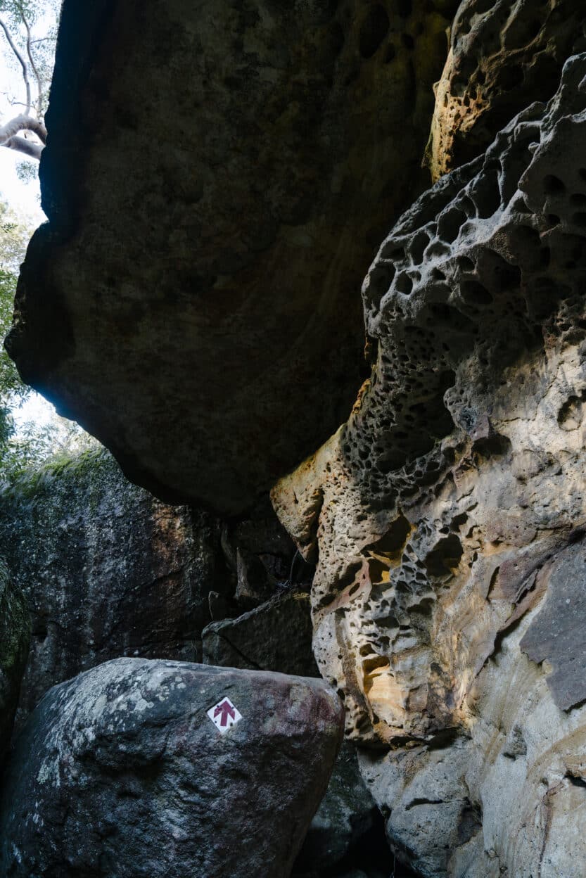
Wilderness seems to expand out in every direction as the track picks its way past sandstone boulders and pock-marked rock shelters.
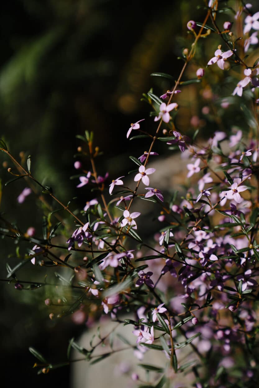
Sydney red gums contort themselves overhead while shrubby Tetratheca fan out their purple flowers on the edge of the path.
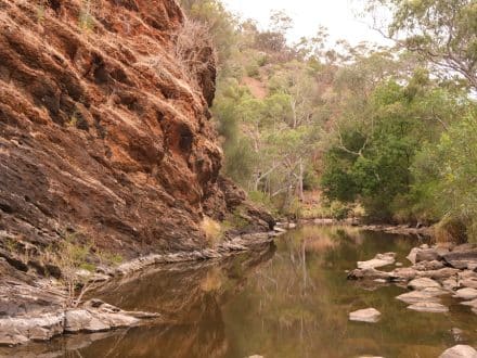
After a few kilometres, the track bends below a large, overhung rock and crosses Waitara Creek where fast-flowing water has carved circular potholes known as ‘the spa’ before spilling into a deep pool beyond. While we are tempted to dive in, a conspicuous sign reminds walkers that we are, in fact, still in Sydney and this is stormwater runoff.
Thru-hikers would continue north to Newcastle, but we head towards Hornsby station, turning away from the creek at a well-signed timber bridge to join the Blue Gum track.
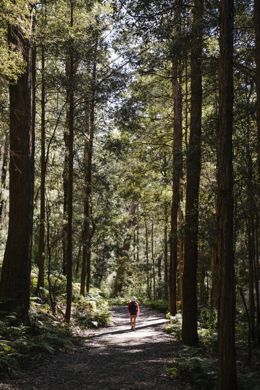
Impossibly straight trees tower overhead, filtering sunlight onto the blanket of ferns below. Cyclists race down the wide track and the world as we know it quickly starts to creep back in. Moss-covered houses peek through the bush and eventually overtake us at Berowra Valley Bushland Park on Rosemead Road. The leafy picnic area offers a chance to refill water bottles before climbing the steep, Depression-era stone staircase to Quarry Road. The suburbs come into full relief around us and after a couple of blocks on Dural Street we have reoriented ourselves in the present. The bush is behind us, but good meals still lay ahead. Truly the best of both worlds.