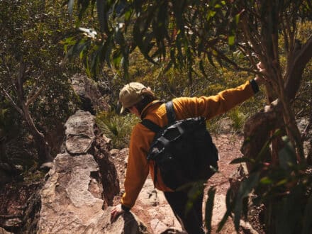
In a largely flat, coastal- hugging country there is an unmistakable homecoming to being wrapped in our biggest mountains.
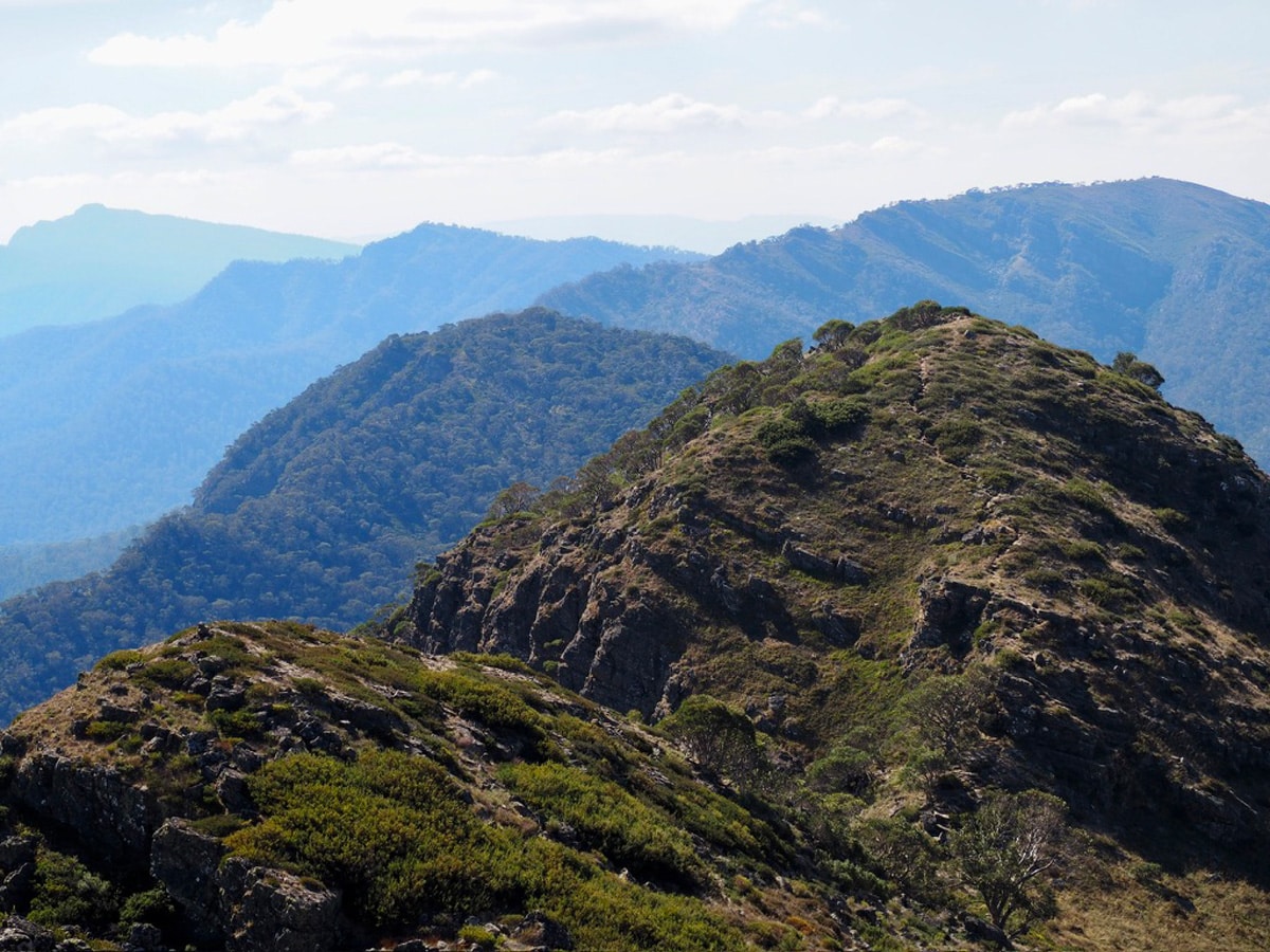
After spending the summer walking 3000 kilometres on the Te Araroa Trail, completely immersed in the raw and all-consuming wilderness of Aotearoa, coming home felt overwhelming and confusing. The only thing that made sense to me was to … go walking. The scent of sculptural snow gums, the ice-cold rush of the Howqua River, the hum of insects in the open alpine meadows and the watercolour-painted views — the wild haven of the Australia Alps was where I first found hiking as a 13-year-old. Ten years later, I was returning completely changed, yet wildly the same.
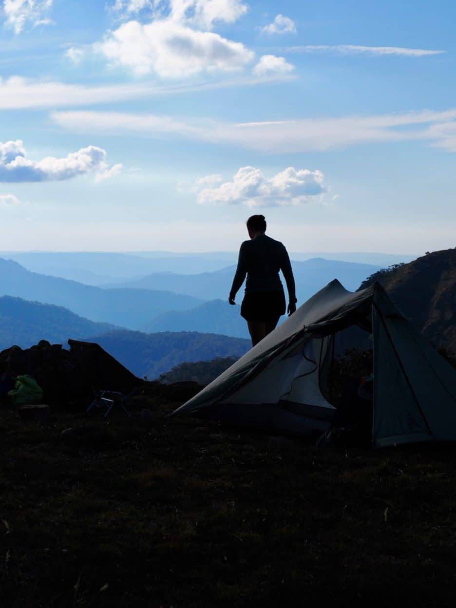
The inky views of the High Country just as the sun starts to dip below.
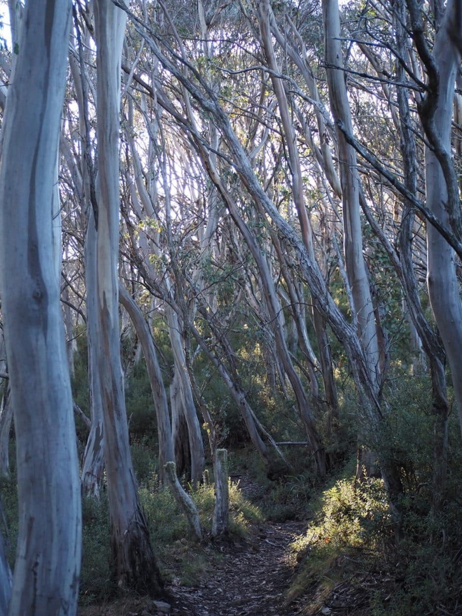
Tangled gums draw you in as soon as you leave the village.
Two weeks at home was all it took before I packed the car and drove to Mount Buller, pulling into an eclectic ski lodge that felt strangely out of place in summer, yet offered the peace and solitude I was searching for. After an early night, I awoke to the usual pre-hike frenzy, making sure I had enough food, water purification, layers, and the right gear for a solo trip. By now though, packing felt as natural as walking. After six months, you know exactly what you need and anything else is just dead weight. I sent my final satellite message to my family with my intended route and walked out of the alpine village past tradies wrapping up their summer work.
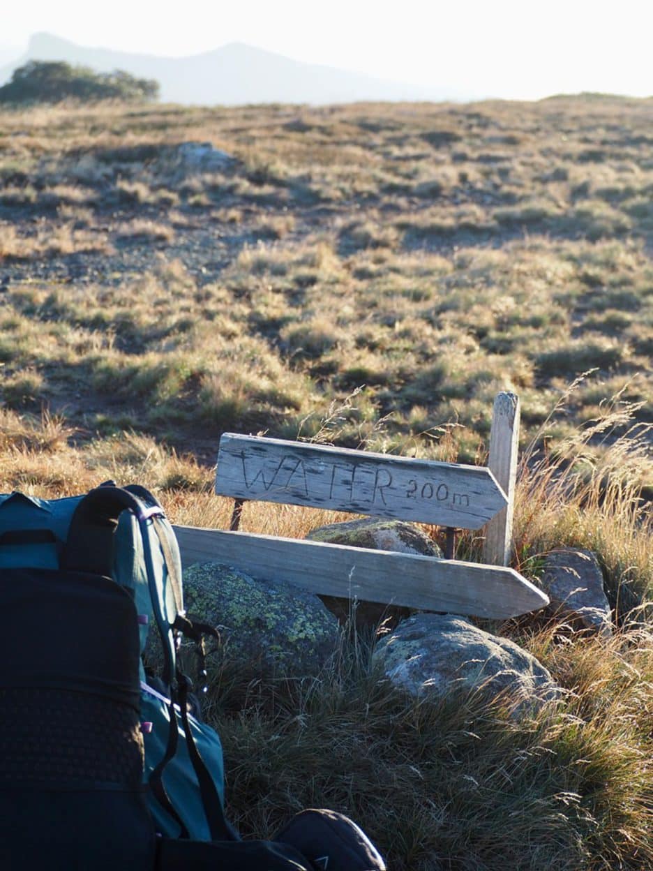
Water can be hard to find and scarce in the summer months in the High Country.
A beautifully etched sign is always a welcome relief, but don’t take the distances too literally..
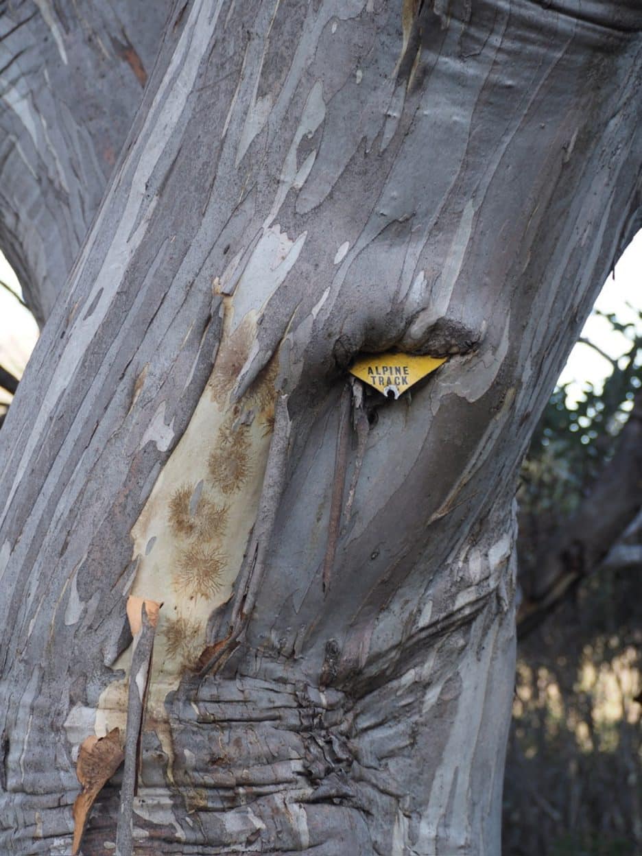
The history is in the markers.
The golden haze of summer tussocks shimmered after a dry season and I soon found myself breaking the tree line to the utopian summit of Mount Stirling. With the early autumn heat, I descended the undulating summit, winding toward Craig’s Hut, the most iconic hut in the High Country. After lunch under the gums I followed Circuit Road I then took a track hard left that dropped down to the river. Guided by my distant memory of a well worn track that my teenage self trudged up, it appeared that this time around I would find myself in overgrown areas whacking the ground for our slithering friends that might be basking in the sun. Luckily in the high country, if you keep walking downhill you’ll eventually hit the river and the haven of an empty King Hut after a long and fulfilling day.
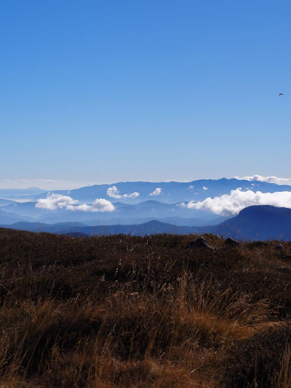
The autumnal fields of Mount Stirling summit looking over towards the endless peaks of the High Country.
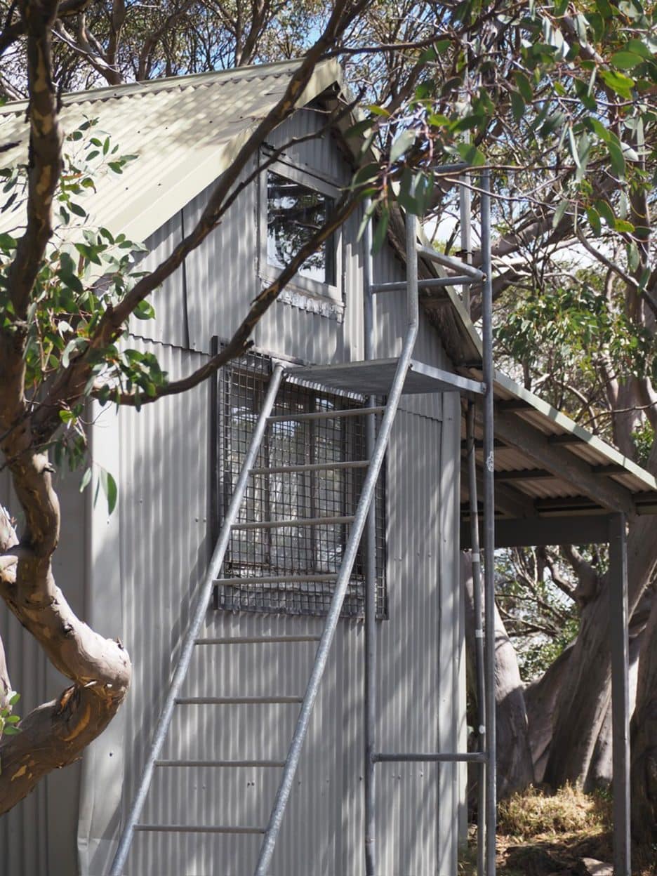
GGS Hut sits nestled just below Mount Stirling summit.
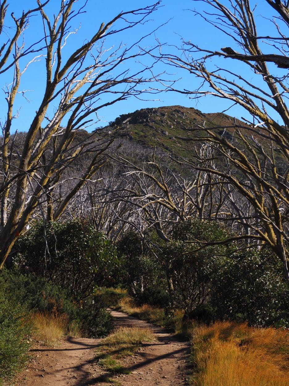
Walking through sculptural ghost gums framing Mount Stirling in the distance.
Day two greeted me with excitement and some nerves for what lay ahead – relentless climbing. After a restless night of wild dogs howling I was up early, winding through sub–alpine ash to the base of the first climb. I remember hearing the name Muesli Spur as a teenager and thinking, ‘Yum, my favourite breakfast – sweet and moreish. Hopefully the spur will be just like it!’. I had a rude awakening that day and, sure enough, this time it was just as hard. The climb wound past flowering heath and shrubs, over mossy fallen logs and towering gums. It steepened dramatically, breaking through thick bush to steep basalt slopes and tangled tree roots. After multiple false summits, I emerged onto grassy plains and hit a four-wheel drive track that felt more like a remote trail. By now I was mulling over the usual things: food, water, time. The sun was intense, and reaching Camp Creek’s ice-cold water was pure relief. I filled up three litres, knowing I’d need it for another five to six hours of climbing. Butterflies filled my stomach as I left the track and ascended the tussock-worn ridge to Mount Speculation. I was entering the Viking Wilderness area. While I wasn’t doing the Razor Viking Circuit like I had ten years ago, I was heading across the Crosscut Saw toward Mount Howitt, one of the most iconic and remote ridgeline walks in Australia. Being overly cautious comes with hiking solo and I made sure to take my pack off at times and closely calculate each step to reach the base of Mount Buggery. It’s no coincidence that this mountain is named that because the climb feels relentless. The summit is nestled in the gnarly painted snow gums, sculptural in their canopy, and provided the perfect shady spot to rest and look towards the next ridgeline.
Jagged and pointy when viewed from the distance, the Crosscut Saw is a spectacular narrow path traversing the undulating ridge with dramatic drops off either side.
After pushing through to the grassy plains above the tree line, I passed Vallejo Gantner Hut, choosing instead to set up camp just below Mount Howitt’s summit on a rocky perch overlooking the Saw.
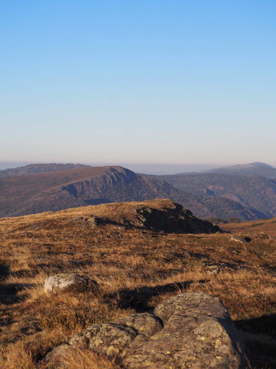
The winding path over golden tussocks draws you back towards the Howitt Plains.
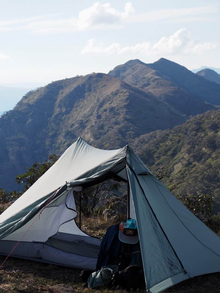
My forever travelling home looking perfectly back on the Saw.
The third day reminded me how important it is to stay flexible when on your own. I descended to the tapped spring, filled up, and climbed Mount Howitt’s open alpine plains, the wind whipping through the twisted snow gums. The silence was eerie but comforting as I passed through alpine meadows, eventually reaching the spectacular cliffs of Mount Magdala. To walk beneath the dramatic basalt formations and sheer cliffs I chose the lower track, narrow and overgrown with alpine wildflowers. Views opened back to the Viking and Cobbler as I pushed toward Lovick’s Hut for lunch, hoping for shade and rest. With the heat and amount of water I had left, I decided that with potentially no reliable water source until I reached the river again, I would change my plans from camping at Bluff and turn back and take a spur that would lead me down to the Howqua via Helicopter Spur.
What I didn’t expect was just how tough that would be. The first two hours were a mix of sliding and scrambling, often lowering my pack down rocky drops. This path was drastically overgrown, and I lost it several times but luckily always managed to find it again, eventually breaking through to the river and a haven of a campground at Upper Howqua Camping Area.
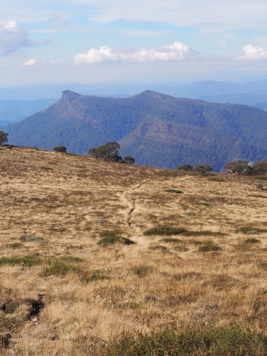
Passing by Vallejo Gantner Hut and looking back towards the Viking.
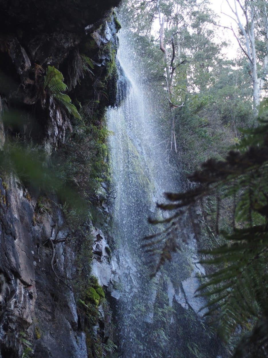
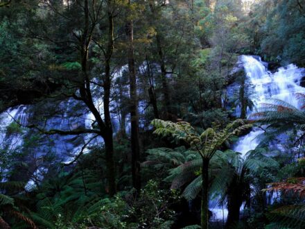
Bindaree Falls was an unexpected highlight to contrast the dry high plain of my traverse.
On day four, I climbed Bindaree Road toward the falls, finding an unmarked but welcome walking trail, secluded and far from the road. The falls were light from a dry summer but beautiful, with ferns and moss clinging to the rainforest gully. The mysterious track took me up to The Monument, a tough and relentless ascent that calls for a number of snack and sit-down breaks. Reaching the summit of Mount Stirling again after the loop that I had just experienced was a complete contrast, instead of the thrill of the unknown journey I was starting, I felt content as I drifted among the clouds rolling in and the snow gums forming ghostly shadows. As I walked the final stretch towards Mount Buller village, I reflected on the past four days. How I was completely alone yet entirely fulfilled. These were the same mountains that had raised me as a teenager, and in coming back, I felt challenged, grounded, and deeply nostalgic for all that this environment gives to those who venture into its raw wildness.